












Rare Old Topographic Map of Coahuila, Mexico 1922: Torreon, Saltillo, Monclova, Rio Grande, Sierra Madre
In unserer Londoner Werkstatt aus der Originalkarte von 1922 restauriert und in Museumsqualität gedruckt. Vollständige Beschreibung
Das Sammlerangebot
Wählen Sie zwei berechtigte Werke und erhalten Sie auf beide 20 % Rabatt. Wählen Sie drei, und das günstigste ist kostenlos – eine maximale Ersparnis von 33 %.
Kombinieren Sie berechtigte Standardkarten und Kunstdrucke nach Belieben. Kein Code erforderlich; das Angebot wird an der Kasse automatisch angewendet.
Standardmäßige Konfigurationen nach Maßanfertigung sind inbegriffen. Maßgeschneiderte Größen, personalisierte Entwürfe und Auftragsarbeiten sind ausgeschlossen.
Benötigen Sie die Lieferung an unterschiedliche Adressen? Kontaktieren Sie uns vor der Bestellung.Das Sammlerangebot
Wählen Sie zwei berechtigte Werke und erhalten Sie auf beide 20 % Rabatt. Wählen Sie drei, und das günstigste ist kostenlos – eine maximale Ersparnis von 33 %.
Kombinieren Sie berechtigte Standardkarten und Kunstdrucke nach Belieben. Kein Code erforderlich; das Angebot wird an der Kasse automatisch angewendet.
Standardmäßige Konfigurationen nach Maßanfertigung sind inbegriffen. Maßgeschneiderte Größen, personalisierte Entwürfe und Auftragsarbeiten sind ausgeschlossen.
Benötigen Sie die Lieferung an unterschiedliche Adressen? Kontaktieren Sie uns vor der Bestellung. In London restauriert • Gedruckt und gerahmt in Australia
Aus der Originalkarte von 1922 restauriert und in Museumsqualität gedruckt. Vollständige Beschreibung
Größe wählen
Ausführung wählen


(Mehr Infos)
Geschenkmitteilung & individuelle Ausführung

Wenn Sie eine Geschenkmitteilung oder eine Ausführung (Puzzle, Aluminiumplatte usw.) hinzufügen möchten, die hier nicht verfügbar ist, geben Sie dies bitte in der "Bestellnotiz" beim Checkout an.
Jede Bestellung wird individuell angefertigt. Wenn Sie die Größe leicht anpassen oder auf einem ungewöhnlichen Material drucken lassen möchten, lassen Sie es uns einfach wissen. Wir haben im Laufe der Jahre Tausende von individuellen Bestellungen bearbeitet, daher gibt es (fast) nichts, was wir nicht bewältigen können.
Sie können uns auch kontaktieren, bevor Sie bestellen, wenn Sie möchten!
Ein Stück Geschichte für Ihr Zuhause
Über 8.000 5-Sterne-Bewertungen

Coahuila crowns this 1922 sheet from the Atlas Geográfico de la República Mexicana, a meticulously orchestrated portrait of Mexico’s great northern state...
WeiterlesenCoahuila crowns this 1922 sheet from the Atlas Geográfico de la República Mexicana, a meticulously orchestrated portrait of Mexico’s great northern state at a moment of national redefinition. Issued by the Dirección de Estudios Geográficos y Climatológicos, the map fuses precise political boundaries with a physically expressive landscape rendered in nuanced relief shading. A finely articulated network of roadways and railways threads between named cities, towns, rancherías, and haciendas, while rivers and intermittent lakes are traced with hydrologic sensitivity. Borders to neighboring states and the international line along the Río Bravo del Norte are drawn with authoritative clarity, yet the composition retains a painterly poise, anchored by an elegant cartouche whose iconography nods to the cultural currents of the era. This is science disciplined into beauty—and beauty pressed into service of place.
Behind the image stands a purposeful team within Mexico’s modernizing scientific establishment. Engineers Sotero Prieto and Luciano López Sorcini oversaw the geographic synthesis, bringing mathematical rigor, triangulation practice, and climatological insight to bear on Coahuila’s vast expanses. Their colleague, the zincographer Antonio Hernández, translated the drafts into exceptionally crisp plates, the then-cutting-edge zincography preserving both the hairline of a river’s meander and the soft tonal gradations of shaded relief. As part of a nationwide atlas program, their task was not merely to locate towns and trace tracks, but to standardize knowledge after a tumultuous decade, knitting rail junctions, postal roads, and administrative jurisdictions into a coherent, comparable frame. The result is a document that reads as both an instrument of governance and a testament to scholarly craftsmanship.
In shaded swells and stony chiaroscuro, the Sierra Madre Oriental strides across the sheet, its buttressed spurs—Arteaga, Zapalinamé, Santa Rosa—rising abruptly from desert basins. Northward, the Río Bravo del Norte scrolls along the frontier, gathering tributaries such as the Sabinas, San Rodrigo, and Escondido, while the Salado and Nadadores trace more interior courses toward the borderlands. West and southwest, the Comarca Lagunera’s dry sinks hint at the vanished waters of Mayrán, the Nazas River’s desultory gift, and the larger Bolsón de Mapimí’s salt flats and playas. The shading is not decorative flourish: it reads like weather and geology, indicating passes, cuestas, and canyon mouths essential to travel, communication, and defense. Coahuila’s climate and topography—sun-seared plain and cool pine ridge—are legible in every gradient laid upon the page.
Human settlement punctuates this terrain with purposeful rhythm. Torreón anchors the west, a booming node of mills, warehouses, and rail yards in the Lagunera, dispatching lines eastward and north to mining districts. Saltillo, the state capital, spreads at the mouth of mountain valleys, its colonial grid embraced by sierra ramparts and linked by highway and rail to Monterrey and the central plateau. Monclova, seat of ore and industry, sits astride corridors toward the north. On the Río Bravo, twin gateways—Piedras Negras opposite Eagle Pass and Ciudad Acuña across from Del Rio—fix the border crossings, their sidings and roads fanning into ranch country and garrison towns. Throughout, secondary tracks and carriage roads are recorded with care, revealing how arroyos, passes, and river terraces determined the everyday geometry of movement.
Political geography is stated with equal poise. Limit lines articulate Coahuila’s reach to Chihuahua on the northwest, Durango and Zacatecas to the south and southwest, Nuevo León on the east, and the United States beyond the Río Bravo—each boundary contextualized by the mountains and deserts it must cross. Conceived within a comprehensive atlas, the composition converses with transparent relief and thematic overlays prepared for the series, inviting geological readings of structure, watershed, and resource. The cartouche gathers these ambitions into emblem—classical balance enlivened by national motifs—while the legend deciphers symbols for rails, roads, settlements, and hydrology. Taken together, the map becomes a richly layered narrative of territory, an artifact of Mexican cartographic modernity at its most lucid and humane.
Cities and towns on this map
- Torreón
- Saltillo
- Monclova
- Ciudad Acuña
- Piedras Negras
Notable Features & Landmarks
- Detailed shadings representing elevation and relief.
- Comprehensive network of roadways and railroads.
- Major settlements and geographical landmarks, including rivers and bodies of water.
- Borders and limit lines indicating surrounding regions and states.
- Artistic cartouche showcasing cultural elements relevant to the era.
Historical and design context
- Publication Year: 1922
- Mapmaker/Publisher: Mexico Direccion de Estudios Geograficos y Climatologicos; part of the "Atlas Geografico de la Republica Mexicana."
- Key Contributors: Ing. Sotero Prieto, Ing. Luciano Lopez Sorcini, and zincographer Antonio Hernandez.
- Accompanied by overlay transparent relief maps for geological insights.
- Artistic elements integrate cultural aspects, reflecting cartographic traditions.
- Serves as a vital historical artifact for understanding early 20th-century cartography in Mexico.
- Represents the intersection of science and culture, especially regarding the geographic and geological study of the region.
Looking for a particular place? Review the detailed images to confirm that the town, landmark or feature you have in mind appears on the map. If you are unsure, ask our workshop to check before you order.
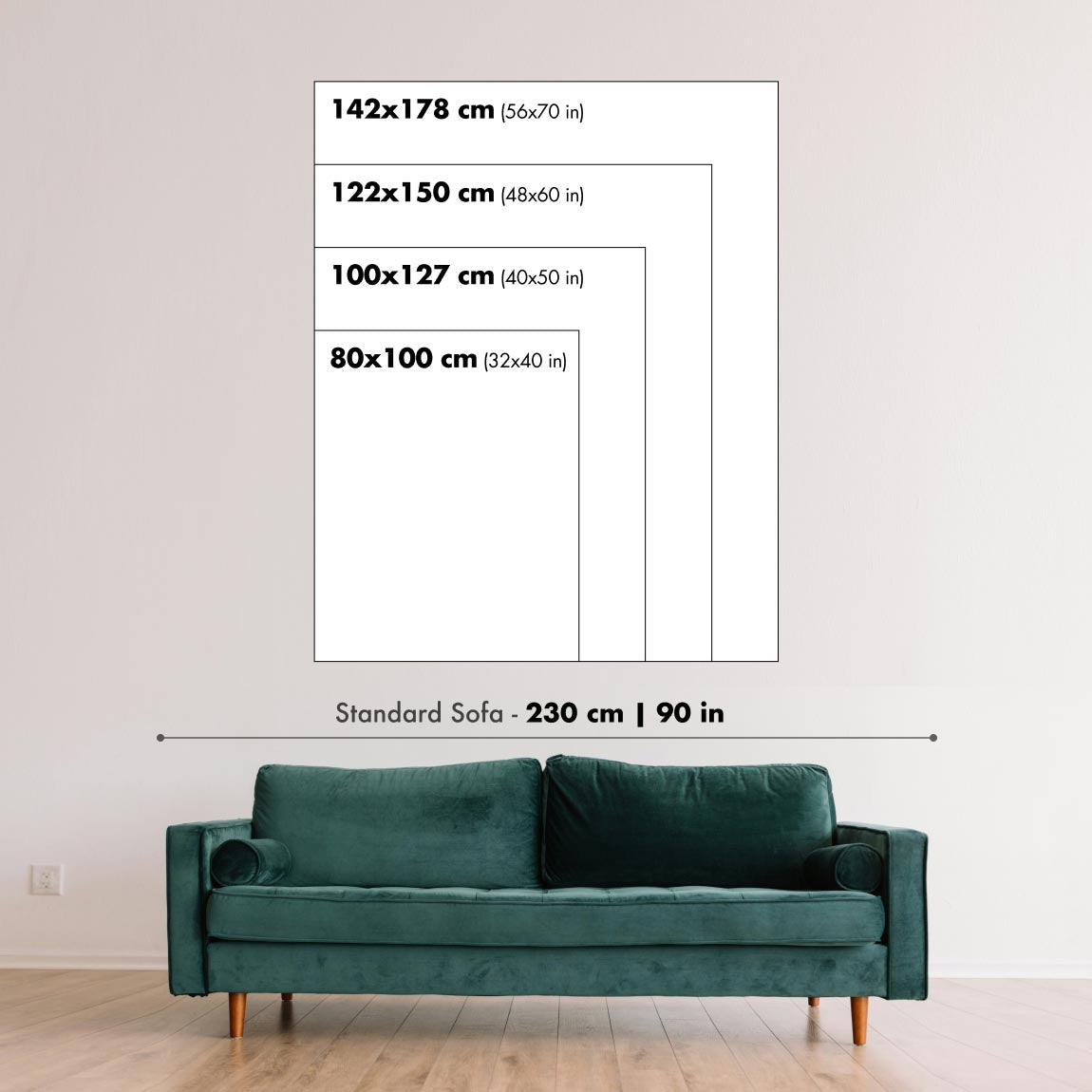
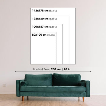
Detailed maps are especially rewarding at larger sizes, where names, boundaries and decorative features have more room to be appreciated. Use the close-up preview and size guide to choose the right scale for your wall.
This map looks amazing at sizes all the way up to 100in (250cm). If you are looking for a larger map, please get in touch.
The model in the listing images is holding the 18x24in (45x60cm) version of this map.
Where personalisation is available, you can add a short title or dedication, mark one meaningful place, or request one considered visual detail. See personalised map examples.
Every piece is printed to museum-grade archival standards using fade-resistant pigment inks on acid-free matte paper. Choose an unframed map print, framed map or canvas using the finish options above. Framed maps use crystal-clear optical acrylic and arrive ready to hang.
With its rich detail and strong sense of place, this map makes a considered gift for a new home, anniversary, retirement or anyone with a personal connection to the area shown. Still deciding? Explore our collection of rare old and vintage maps to discover another place, period or style.
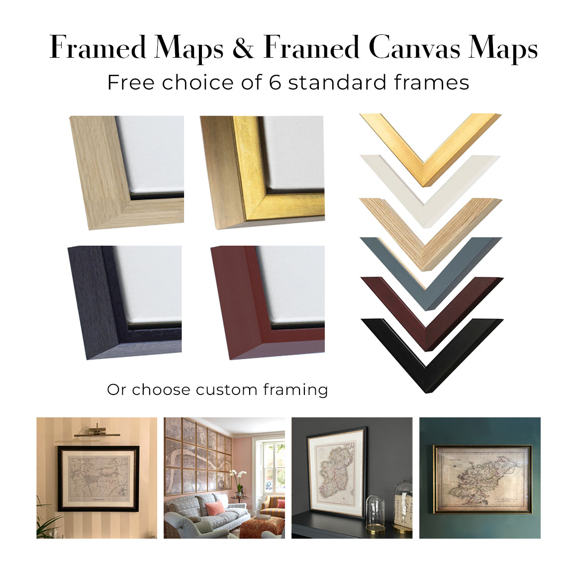
This map is also available as a float framed canvas, sometimes known as a shadow gap framed canvas or canvas floater. The map is printed on artist's cotton canvas and then stretched over a handmade box frame. We then "float" the canvas inside a wooden frame, which is available in a range of colours (black, dark brown, oak, antique gold and white). This is a wonderful way to present a map without glazing in front. See some examples of float framed canvas maps and explore the differences between my different finishes.
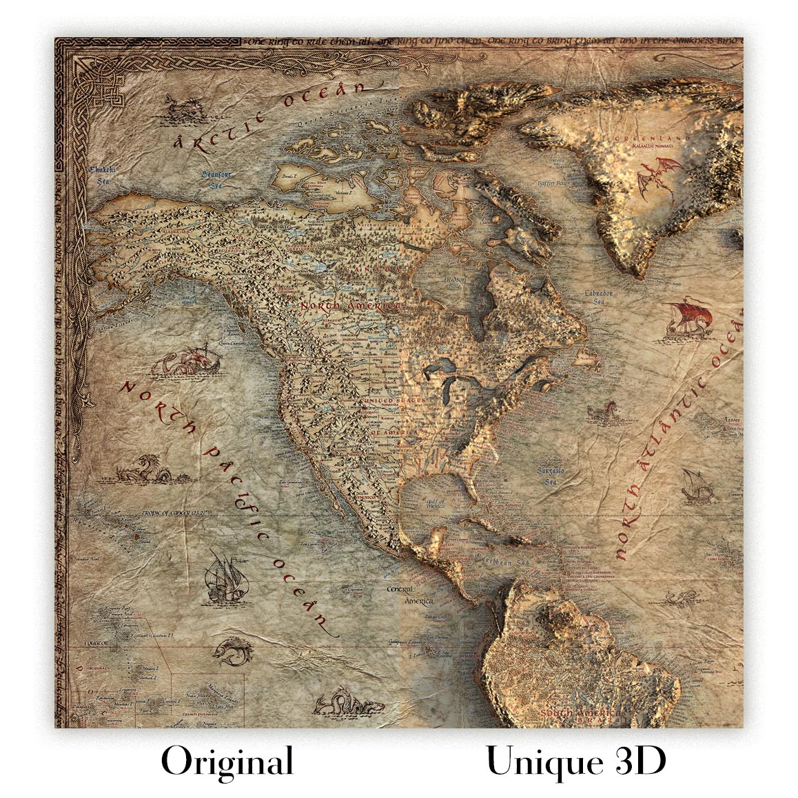
For something truly unique, this map is also available in "Unique 3D", our trademarked process that dramatically transforms the map so that it has a wonderful sense of depth. We combine the original map with detailed topography and elevation data, so that mountains and the terrain really "pop". For more info and examples of 3D maps, check my Unique 3D page.
Coahuila crowns this 1922 sheet from the Atlas Geográfico de la República Mexicana, a meticulously orchestrated portrait of Mexico’s great northern state at a moment of national redefinition. Issued by the Dirección de Estudios Geográficos y Climatológicos, the map fuses precise political boundaries with a physically expressive landscape rendered in nuanced relief shading. A finely articulated network of roadways and railways threads between named cities, towns, rancherías, and haciendas, while rivers and intermittent lakes are traced with hydrologic sensitivity. Borders to neighboring states and the international line along the Río Bravo del Norte are drawn with authoritative clarity, yet the composition retains a painterly poise, anchored by an elegant cartouche whose iconography nods to the cultural currents of the era. This is science disciplined into beauty—and beauty pressed into service of place.
Behind the image stands a purposeful team within Mexico’s modernizing scientific establishment. Engineers Sotero Prieto and Luciano López Sorcini oversaw the geographic synthesis, bringing mathematical rigor, triangulation practice, and climatological insight to bear on Coahuila’s vast expanses. Their colleague, the zincographer Antonio Hernández, translated the drafts into exceptionally crisp plates, the then-cutting-edge zincography preserving both the hairline of a river’s meander and the soft tonal gradations of shaded relief. As part of a nationwide atlas program, their task was not merely to locate towns and trace tracks, but to standardize knowledge after a tumultuous decade, knitting rail junctions, postal roads, and administrative jurisdictions into a coherent, comparable frame. The result is a document that reads as both an instrument of governance and a testament to scholarly craftsmanship.
In shaded swells and stony chiaroscuro, the Sierra Madre Oriental strides across the sheet, its buttressed spurs—Arteaga, Zapalinamé, Santa Rosa—rising abruptly from desert basins. Northward, the Río Bravo del Norte scrolls along the frontier, gathering tributaries such as the Sabinas, San Rodrigo, and Escondido, while the Salado and Nadadores trace more interior courses toward the borderlands. West and southwest, the Comarca Lagunera’s dry sinks hint at the vanished waters of Mayrán, the Nazas River’s desultory gift, and the larger Bolsón de Mapimí’s salt flats and playas. The shading is not decorative flourish: it reads like weather and geology, indicating passes, cuestas, and canyon mouths essential to travel, communication, and defense. Coahuila’s climate and topography—sun-seared plain and cool pine ridge—are legible in every gradient laid upon the page.
Human settlement punctuates this terrain with purposeful rhythm. Torreón anchors the west, a booming node of mills, warehouses, and rail yards in the Lagunera, dispatching lines eastward and north to mining districts. Saltillo, the state capital, spreads at the mouth of mountain valleys, its colonial grid embraced by sierra ramparts and linked by highway and rail to Monterrey and the central plateau. Monclova, seat of ore and industry, sits astride corridors toward the north. On the Río Bravo, twin gateways—Piedras Negras opposite Eagle Pass and Ciudad Acuña across from Del Rio—fix the border crossings, their sidings and roads fanning into ranch country and garrison towns. Throughout, secondary tracks and carriage roads are recorded with care, revealing how arroyos, passes, and river terraces determined the everyday geometry of movement.
Political geography is stated with equal poise. Limit lines articulate Coahuila’s reach to Chihuahua on the northwest, Durango and Zacatecas to the south and southwest, Nuevo León on the east, and the United States beyond the Río Bravo—each boundary contextualized by the mountains and deserts it must cross. Conceived within a comprehensive atlas, the composition converses with transparent relief and thematic overlays prepared for the series, inviting geological readings of structure, watershed, and resource. The cartouche gathers these ambitions into emblem—classical balance enlivened by national motifs—while the legend deciphers symbols for rails, roads, settlements, and hydrology. Taken together, the map becomes a richly layered narrative of territory, an artifact of Mexican cartographic modernity at its most lucid and humane.
Cities and towns on this map
- Torreón
- Saltillo
- Monclova
- Ciudad Acuña
- Piedras Negras
Notable Features & Landmarks
- Detailed shadings representing elevation and relief.
- Comprehensive network of roadways and railroads.
- Major settlements and geographical landmarks, including rivers and bodies of water.
- Borders and limit lines indicating surrounding regions and states.
- Artistic cartouche showcasing cultural elements relevant to the era.
Historical and design context
- Publication Year: 1922
- Mapmaker/Publisher: Mexico Direccion de Estudios Geograficos y Climatologicos; part of the "Atlas Geografico de la Republica Mexicana."
- Key Contributors: Ing. Sotero Prieto, Ing. Luciano Lopez Sorcini, and zincographer Antonio Hernandez.
- Accompanied by overlay transparent relief maps for geological insights.
- Artistic elements integrate cultural aspects, reflecting cartographic traditions.
- Serves as a vital historical artifact for understanding early 20th-century cartography in Mexico.
- Represents the intersection of science and culture, especially regarding the geographic and geological study of the region.
Looking for a particular place? Review the detailed images to confirm that the town, landmark or feature you have in mind appears on the map. If you are unsure, ask our workshop to check before you order.
Detailed maps are especially rewarding at larger sizes, where names, boundaries and decorative features have more room to be appreciated. Use the close-up preview and size guide to choose the right scale for your wall.
This map looks amazing at sizes all the way up to 100in (250cm). If you are looking for a larger map, please get in touch.
The model in the listing images is holding the 18x24in (45x60cm) version of this map.
Where personalisation is available, you can add a short title or dedication, mark one meaningful place, or request one considered visual detail. See personalised map examples.
Every piece is printed to museum-grade archival standards using fade-resistant pigment inks on acid-free matte paper. Choose an unframed map print, framed map or canvas using the finish options above. Framed maps use crystal-clear optical acrylic and arrive ready to hang.
With its rich detail and strong sense of place, this map makes a considered gift for a new home, anniversary, retirement or anyone with a personal connection to the area shown. Still deciding? Explore our collection of rare old and vintage maps to discover another place, period or style.
This map is also available as a float framed canvas, sometimes known as a shadow gap framed canvas or canvas floater. The map is printed on artist's cotton canvas and then stretched over a handmade box frame. We then "float" the canvas inside a wooden frame, which is available in a range of colours (black, dark brown, oak, antique gold and white). This is a wonderful way to present a map without glazing in front. See some examples of float framed canvas maps and explore the differences between my different finishes.
For something truly unique, this map is also available in "Unique 3D", our trademarked process that dramatically transforms the map so that it has a wonderful sense of depth. We combine the original map with detailed topography and elevation data, so that mountains and the terrain really "pop". For more info and examples of 3D maps, check my Unique 3D page.
Viele unserer Karten und Kunstdrucke werden als durchdachte Geschenke für Wohnungen, Büros, Arbeitszimmer und bedeutungsvolle Orte ausgewählt.
Wählen Sie eine gerahmte Option als das einfachste, fertig zum Aufhängen gelieferte Geschenk, oder entscheiden Sie sich für einen ungerahmten Druck, wenn der Empfänger seinen eigenen Rahmen lieber selbst auswählen möchte.
Wir fertigen Bestellungen lokal in 23 Ländern weltweit, sodass Geschenke oft in der Nähe des Empfängers produziert werden können. Das trägt dazu bei, dass sie schneller ankommen, sicherer transportiert werden und Überraschungen durch Zoll oder Einfuhrabgaben vermieden werden.
- Wir können direkt an den Empfänger liefern
- Gerahmte Werke werden fertig zum Aufhängen geliefert
- Ungerahmte Drucke werden sorgfältig in einer stabilen Schutzhülle versandt
- Nahezu jede Bestellung wird lokal gefertigt – für schnelleres und sichereres Schenken
- 90 Tage Rückgaberecht geben dem Empfänger Zeit für seine Entscheidung
Wenn Sie nicht sicher sind, was Sie wählen sollen, kontaktieren Sie uns bitte. Wir helfen Ihnen gern dabei, die passende Karte, Größe, Ausführung oder Lieferoption auszuwählen.
Für die meisten Bestellungen beträgt die Lieferzeit etwa 3 Werktage. Personalisierte und maßgeschneiderte Produkte benötigen länger, da ich die Personalisierung durchführen und sie Ihnen zur Genehmigung zusenden muss, was normalerweise 1 oder 2 Tage dauert.
Bitte beachten Sie, dass sehr große gerahmte Bestellungen in der Regel länger für die Herstellung und Lieferung benötigen.
Wenn Sie möchten, dass Ihre Bestellung bis zu einem bestimmten Datum ankommt, bitte kontaktieren Sie mich, bevor Sie bestellen, damit wir den besten Weg finden können, um sicherzustellen, dass Sie Ihre Bestellung rechtzeitig erhalten.
Ich drucke und rahme Karten und Kunstwerke in 23 Ländern weltweit. Das bedeutet, dass Ihre Bestellung lokal gefertigt wird, was die Lieferzeit verkürzt und sicherstellt, dass sie während der Lieferung nicht beschädigt wird. Sie zahlen nie Zoll oder Einfuhrgebühren, und wir stoßen weniger CO2 in die Luft aus.
Alle meine Karten und Kunstdrucke sind gut verpackt und werden in einem robusten Rohr versendet, wenn sie ungerahmt sind, oder von Schaum umgeben, wenn sie gerahmt sind.
Ich versuche, alle Bestellungen innerhalb von 1 oder 2 Tagen nach Erhalt Ihrer Bestellung zu versenden, obwohl einige Produkte (wie Gesichtsmasken, Tassen und Tragetaschen) länger zur Herstellung benötigen können.
Wenn Sie Express-Lieferung an der Kasse auswählen, priorisieren wir Ihre Bestellung und versenden sie per 1-Tages-Kurier (Fedex, DHL, UPS, Parcelforce).
Nächster Tag Lieferung ist auch in einigen Ländern verfügbar (USA, UK, Singapur, VAE), aber bitte versuchen Sie, früh am Tag zu bestellen, damit wir es rechtzeitig versenden können.
Lesen Sie meinen vollständigen Leitfaden zur Lieferung und lokalen Produktion
Mein Standardrahmen ist ein Galerie-Stil-Rahmen aus schwarzem Eschenholz. Er ist einfach und sieht ziemlich modern aus. Mein Standardrahmen ist etwa 20 mm (0,8 Zoll) breit.
Ich verwende super-klares Acryl (Plexiglas/Acrylt) für das Glas des Rahmens. Es ist leichter und sicherer als Glas – und es sieht besser aus, da die Reflexion geringer ist.
Sechs Standardrahmenfarben sind kostenlos erhältlich (schwarz, dunkelbraun, dunkelgrau, Eiche, weiß und antikgold).
Die meisten Karten, Kunstwerke und Illustrationen sind auch als gerahmte Leinwand erhältlich. Wir verwenden matte (nicht glänzende) Baumwollleinwand, spannen sie über einen nachhaltig beschafften Buchenrahmen und 'schweben' dann das Stück innerhalb eines Holzrahmens. Das Endergebnis ist ziemlich schön, und es gibt keine Verglasung, die im Weg ist.
Alle Rahmen werden "bereit zum Aufhängen" geliefert, entweder mit einer Schnur oder Halterungen auf der Rückseite. Sehr große Rahmen haben schwere Aufhängeplatten und/oder eine Montageschiene. Wenn Sie Fragen haben, können Sie bitte Kontakt aufnehmen.
Sehen Sie sich einige Beispiele meiner gerahmten Karten und gerahmten Leinwandkarten an.
Alternativ kann ich auch alte Karten und Kunstwerke auf Leinwand, Schaumstoffplatten, Baumwollrag und andere Materialien liefern.
Wenn Sie Ihre Karte oder Ihr Kunstwerk selbst rahmen möchten, lesen Sie bitte zuerst meinen Größenleitfaden.
Wir arbeiten mit Innenarchitekten, Unternehmen aus dem Gastgewerbe, Immobilienfachleuten, Büros und Firmenkunden an Einzelstücken sowie an größeren, abgestimmten Projekten.
Diese Karte kann an eine bestimmte Wand, einen Raum oder ein Projekt angepasst werden, und unsere Werkstatt unterstützt Sie vor der Produktion bei der Abstimmung von Abmessungen, Material und Rahmung.
- Exakte, übergroße und maßgefertigte Abmessungen
- Individuelle Rahmung, Montage und alternative Materialien
- Abgestimmte Stücke für mehrere Räume oder Standorte
- Personalisierung der Karte, um wichtige Orte zu markieren oder zusätzliche Details hinzuzufügen
- Beratung zu Karte und Rahmung durch unsere Werkstatt
- Lokale Produktion für Projekte in aller Welt
Besprechen Sie dieses Werk mit unserem Team für Trade & Projects
Meine Karten sind äußerst hochwertige Reproduktionen von Originalkarten.
Ich beziehe originale, seltene Karten aus Bibliotheken, Auktionshäusern und Privatsammlungen auf der ganzen Welt, restauriere sie in meiner Londoner Werkstatt und erstelle dann mit speziellen Giclée-Tinten und -Druckern wunderschöne Karten, die sogar noch besser aussehen als das Original.
Meine Karten werden auf säurefreiem, mattem Archivpapier (nicht glänzend) gedruckt, das sich sehr hochwertig anfühlt und fast wie Karton aussieht. Technisch gesehen beträgt das Papiergewicht/die Papierdicke 10mil/200g/m². Es eignet sich perfekt zum Einrahmen.
Ich drucke mit UV-lichtbeständigen Ultrachrome-Giclée-Pigmenttinten von Epson – einige der besten Tinten, die Sie finden können.
Ich kann auch machen Karten auf Leinwand, Baumwolllappen und andere exotische Materialien.
Erfahren Sie mehr über The Unique Maps Co.
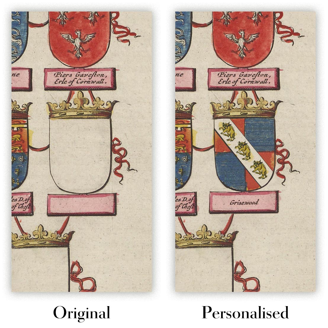
Kartenpersonalisierung
Wenn Sie nach dem perfekten Geschenk zum Jahrestag oder zur Einweihung suchen, kann ich Ihre Karte personalisieren, um sie wirklich einzigartig zu machen. Ich kann beispielsweise eine kurze Nachricht hinzufügen, einen wichtigen Ort hervorheben oder das Wappen Ihrer Familie hinzufügen.
Die Möglichkeiten sind nahezu unbegrenzt. Bitte sehen Sie sich meine Kartenpersonalisierungsseite für einige wunderbare Beispiele dessen, was möglich ist.
Um eine personalisierte Karte zu bestellen, wählen Sie „Personalisieren Sie Ihre Karte“, bevor Sie sie in den Warenkorb legen.
In Kontakt kommen wenn Sie nach komplexeren Anpassungen und Personalisierungen suchen.
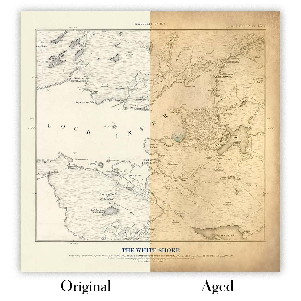
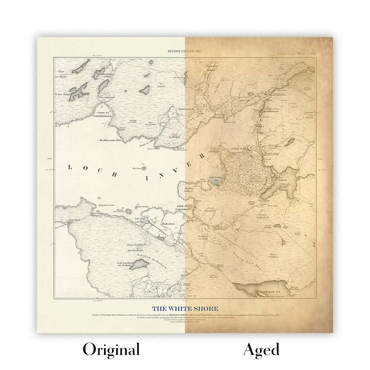
Kartenalterung
Im Laufe der Jahre wurde ich von Kunden hunderte Male gefragt, ob sie eine Karte kaufen könnten, die noch älter.
Nun, jetzt können Sie das, indem Sie „Alter“ auswählen, bevor Sie eine Karte in Ihren Warenkorb legen.
Alle Produktfotos, die Sie auf dieser Seite sehen, zeigen die Karte in ihrer Originalform. So sieht die Karte heute aus.
Wenn Sie „Gealtert“ auswählen, werde ich Ihre Karte von Hand altern lassen. Dazu verwende ich ein spezielles und einzigartiges Verfahren, das ich durch jahrelanges Studium alter Karten und Gespräche mit Forschern zum Verständnis der Chemie alternder Papiere entwickelt habe, und natürlich ... viel Übung!
Wenn Sie sich nicht sicher sind, bleiben Sie bei der Originalfarbe der Karte. Wenn Sie etwas Dunkleres und älter Wenn Sie auf der Suche sind, entscheiden Sie sich für „Aged“.
Sehen Sie einige erstaunliche Beispiele für gealterte Karten.
Seit 1984 restaurieren und fertigen wir Karten und Kunstdrucke an, und wir stehen hinter jedem einzelnen Stück.
Jede Bestellung ist durch unsere 10-Jahres-Garantie und unsere Garantie für beschädigungsfreie Lieferung abgesichert. Sollte Ihr Stück beschädigt bei Ihnen ankommen, ersetzen oder reproduzieren wir es kostenlos. Sollte sonst etwas nicht in Ordnung sein, kontaktieren Sie unser Werkstatt-Team, und wir kümmern uns umgehend darum.
Ausführliche Informationen finden Sie in unseren Rückgabe- und Erstattungsrichtlinien.


