













Rare Old Map of Stockholm, Wisconsin by USGS, 1951: Lake City, Mississippi River & Lake Pepin
Restaurado en nuestro taller de Londres a partir del mapa original de 1953 e impreso en calidad museo. Descripción completa
La oferta del coleccionista
Elija dos obras elegibles y obtenga un 20 % de descuento en ambas. Elija tres y la de menor precio será gratuita, con un ahorro máximo del 33 %.
Combine y mezcle mapas estándar elegibles y reproducciones de bellas artes. No se requiere código; la oferta se aplica automáticamente al finalizar la compra.
Se incluyen las configuraciones estándar hechas por encargo. Quedan excluidos los tamaños a medida, los diseños personalizados y los trabajos por encargo.
¿Necesita entrega en diferentes direcciones? Contáctenos antes de realizar el pedido.La oferta del coleccionista
Elija dos obras elegibles y obtenga un 20 % de descuento en ambas. Elija tres y la de menor precio será gratuita, con un ahorro máximo del 33 %.
Combine y mezcle mapas estándar elegibles y reproducciones de bellas artes. No se requiere código; la oferta se aplica automáticamente al finalizar la compra.
Se incluyen las configuraciones estándar hechas por encargo. Quedan excluidos los tamaños a medida, los diseños personalizados y los trabajos por encargo.
¿Necesita entrega en diferentes direcciones? Contáctenos antes de realizar el pedido. Restaurado en Londres • Impreso y enmarcado en Australia
Restaurado a partir del mapa original de 1953 e impreso en calidad museo. Descripción completa
Elige el formato
Elige el acabado


(Más información)
Mensaje de regalo y acabado personalizado

Si deseas agregar un mensaje de regalo, o un acabado (rompecabezas, tablero de aluminio, etc.) que no esté disponible aquí, por favor solicítalo en la "nota del pedido" cuando realices la compra.
Cada pedido es hecho a medida, así que si necesitas que el tamaño se ajuste ligeramente, o que se imprima en un material inusual, háznoslo saber. Hemos realizado miles de pedidos personalizados a lo largo de los años, así que hay (casi) nada que no podamos gestionar.
También puedes contactarnos antes de hacer tu pedido, ¡si lo prefieres!
Llévate a casa un pedazo de historia
Más de 8.000 reseñas de 5 estrellas

Published in 1953 from work created in 1951, the USGS topographical map titled “Lake City” captures a richly detailed mid-century portrait of...
Seguir leyendoPublished in 1953 from work created in 1951, the USGS topographical map titled “Lake City” captures a richly detailed mid-century portrait of the Mississippi River country around Lake City, Minnesota, and Stockholm, Wisconsin. Set at the classic 1:62,500 scale, it presents the riverine landscape with the scientific precision for which the U.S. Geological Survey became renowned. The broad sweep of Lake Pepin—an expansive natural lake within the Mississippi—anchors the composition, while roads, trails, settlements, wooded areas, and elevation contours reveal the close relationship between human movement and the dramatic terrain. This is a map of a region shaped by water, commerce, bluffs, and rural settlement at a moment when postwar America was steadily modernizing its infrastructure.
The U.S. Geological Survey, founded in 1879, brought a new level of rigor to American cartography, combining field observation, geodetic control, and standardized symbology to create maps useful to engineers, planners, scientists, and travelers. By the early 1950s, USGS quadrangles had become indispensable documents of the national landscape, recording not only natural features but also the practical geography of roads, railways, dwellings, schools, and cultivated land. In “Lake City,” that institutional clarity is evident in every contour and symbol. The map’s colors distinguish terrain types and cultural features with understated elegance, while the contour lines give the countryside a sculptural quality, transforming hills, coulees, valleys, and river bluffs into a legible topographic narrative.
The landscape shown here is one of the most evocative stretches of the Upper Mississippi. Lake Pepin widens the river into a grand inland expanse, bordered by steep wooded slopes and small communities whose histories are tied to trade, farming, fishing, and river transport. Lake City, Minnesota, appears along the western shore, historically a commercial point on the lake and often associated with steamboat traffic and lakeside recreation. Across the water, Stockholm, Wisconsin, occupies a picturesque position along the river corridor, part of a region settled by Scandinavian immigrants and shaped by both agricultural enterprise and river access. The map preserves this cross-river relationship, showing how communities on opposite banks shared a common geographic and economic world.
The topographic character of the map is especially compelling. Contour lines trace the rise and fall of the terrain surrounding the Mississippi, revealing the deeply dissected bluff country that distinguishes this part of Minnesota and Wisconsin from the flatter prairie landscapes to the west. Hills, valleys, wooded ridges, and drainage courses are rendered with a clarity that invites close reading, making visible the forces of erosion, water flow, and settlement choice. Roads wind around slopes and through lowlands, indicating the practical compromises required by the land itself. Forested regions appear through period USGS shading and symbols, while water features—streams, marshy edges, and the vast surface of Lake Pepin—organize the entire scene.
As a historical document, “Lake City” reflects the infrastructure and settlement patterns of the early 1950s, a transitional era in which rural America was increasingly connected by improved roads, modern surveying, and expanding federal and state planning. The map records a world before later suburban expansion and highway transformation, where small towns, river landings, farmsteads, and local routes still defined the rhythm of the countryside. Its appeal lies not only in its cartographic accuracy but in its sense of place: the meeting of bluffland and water, Wisconsin and Minnesota, old river commerce and modern mapping science. For anyone drawn to the Upper Mississippi, it offers a beautifully disciplined view of a storied landscape.
Cities, towns and places on this map
- Stockholm, Wisconsin
- Lake City, Minnesota
- Mississippi River
- Lake Pepin
- Various roads and trails
- Nearby hills and valleys
- Nearby residential areas depicted on the map
- Local forested regions indicated by shading and symbols
Historical context & cartographic details
- Map name: Lake City
- Created in 1951 and published in 1953
- Produced by the U.S. Geological Survey (USGS)
- Topographical map showing a historical view of the region in the early 1950s
- Created at a scale of 1:62,500
- Features contour lines to indicate elevation changes
- Includes detailed water features and vegetation areas
- Uses color to denote different terrain types, typical of USGS maps from this period
- Shows hills, valleys, and bodies of water through contour lines and shading techniques
- Reflects the geographic and infrastructural landscape of a region transitioning toward more modern development
Looking for a particular place? Review the detailed images to confirm that the town, landmark or feature you have in mind appears on the map. If you are unsure, ask our workshop to check before you order.
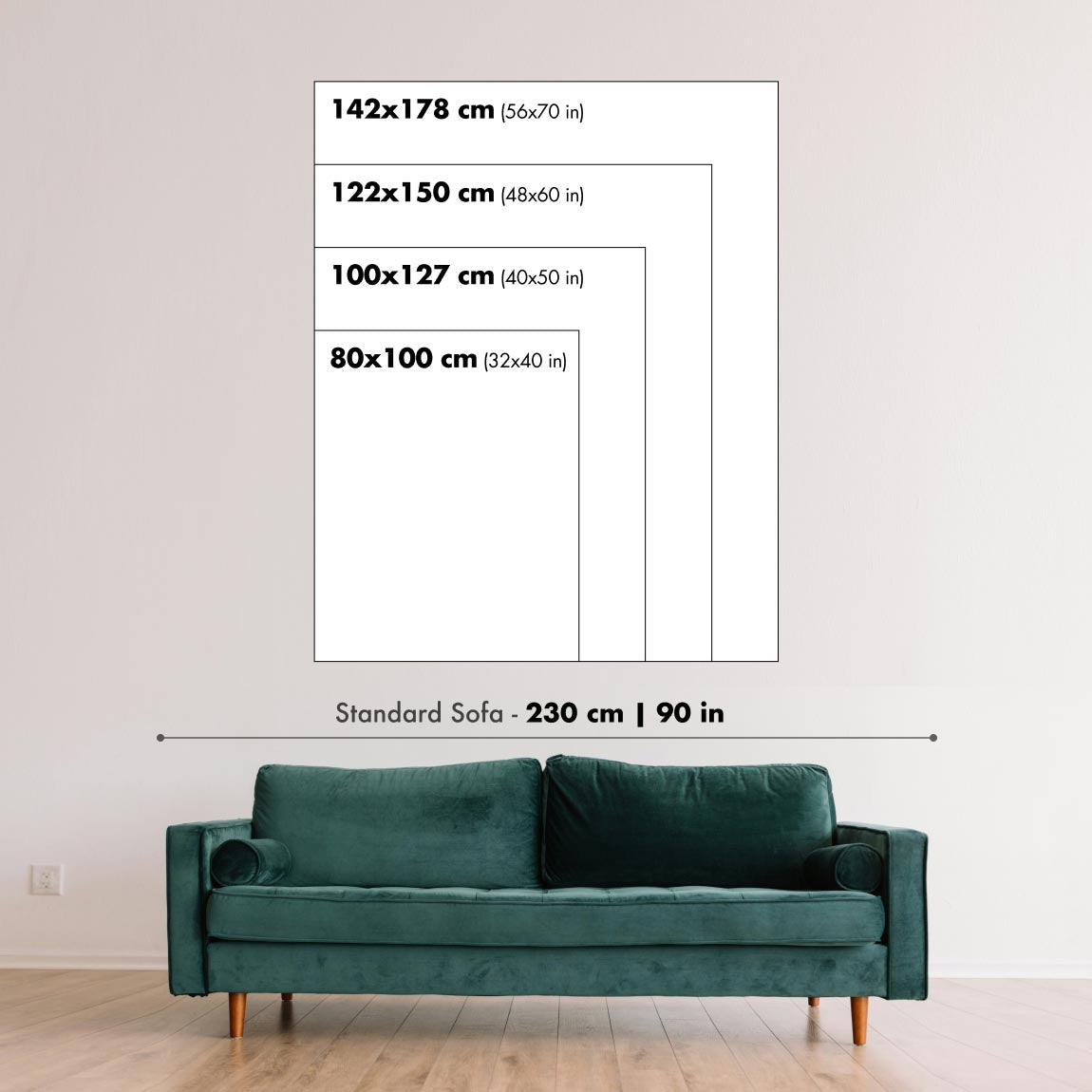
Detailed maps are especially rewarding at larger sizes, where names, boundaries and decorative features have more room to be appreciated. Use the close-up preview and size guide to choose the right scale for your wall.
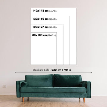
This map looks amazing at sizes all the way up to 50in (125cm). If you are looking for a larger map, please get in touch.
The model in the listing images is holding the 16x20in (40x50cm) version of this map.
Where personalisation is available, you can add a short title or dedication, mark one meaningful place, or request one considered visual detail. See personalised map examples.
Every piece is printed to museum-grade archival standards using fade-resistant pigment inks on acid-free matte paper. Choose an unframed map print, framed map or canvas using the finish options above. Framed maps use crystal-clear optical acrylic and arrive ready to hang.
With its rich detail and strong sense of place, this map makes a considered gift for a new home, anniversary, retirement or anyone with a personal connection to the area shown. Still deciding? Explore our collection of rare old and vintage maps to discover another place, period or style.
This map is also available as a float framed canvas, sometimes known as a shadow gap framed canvas or canvas floater. The map is printed on artist's cotton canvas and then stretched over a handmade box frame. We then "float" the canvas inside a wooden frame, which is available in a range of colours (black, dark brown, oak, antique gold and white). This is a wonderful way to present a map without glazing in front. See some examples of float framed canvas maps and explore the differences between my different finishes.
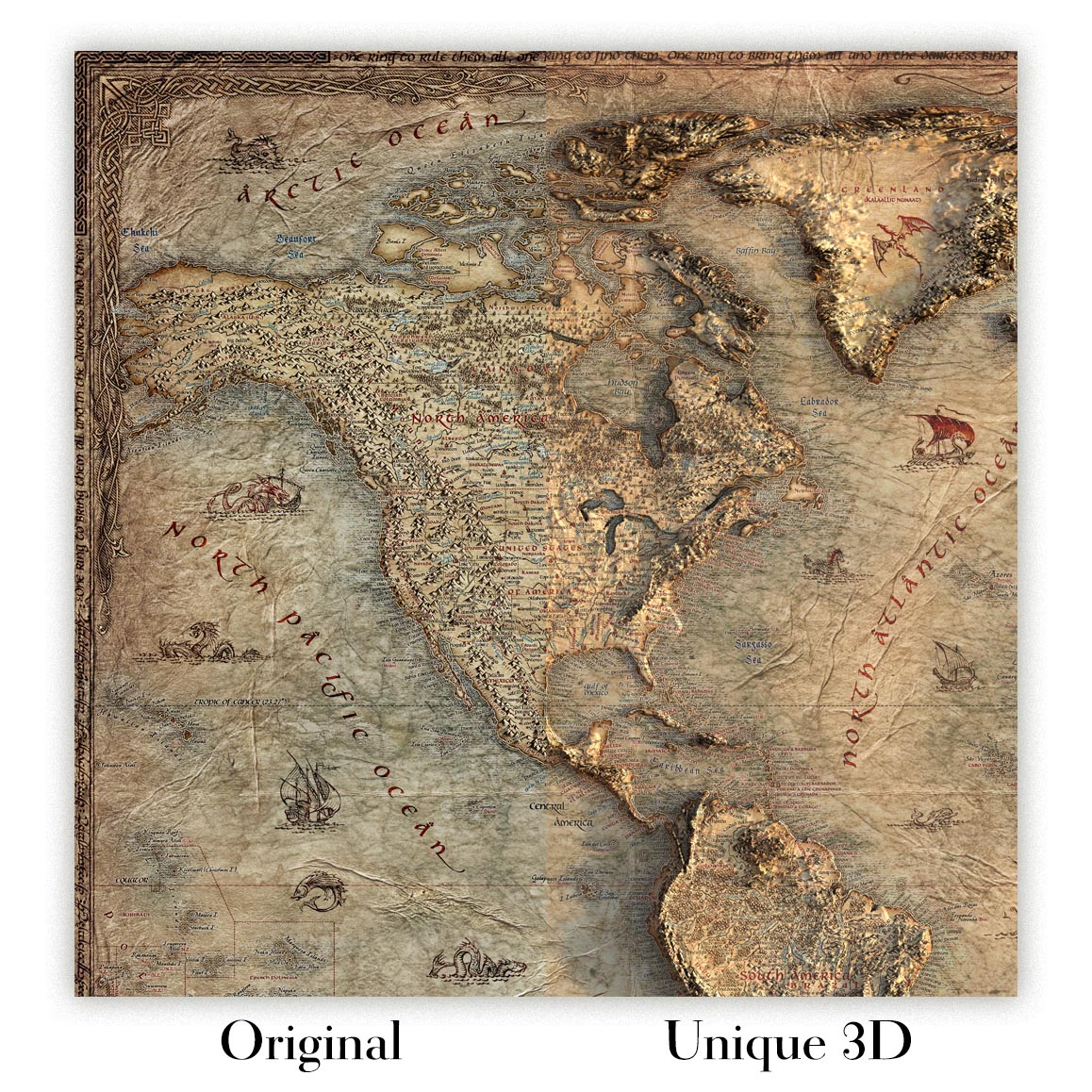
For something truly unique, this map is also available in "Unique 3D", our trademarked process that dramatically transforms the map so that it has a wonderful sense of depth. We combine the original map with detailed topography and elevation data, so that mountains and the terrain really "pop". For more info and examples of 3D maps, check my Unique 3D page.
Published in 1953 from work created in 1951, the USGS topographical map titled “Lake City” captures a richly detailed mid-century portrait of the Mississippi River country around Lake City, Minnesota, and Stockholm, Wisconsin. Set at the classic 1:62,500 scale, it presents the riverine landscape with the scientific precision for which the U.S. Geological Survey became renowned. The broad sweep of Lake Pepin—an expansive natural lake within the Mississippi—anchors the composition, while roads, trails, settlements, wooded areas, and elevation contours reveal the close relationship between human movement and the dramatic terrain. This is a map of a region shaped by water, commerce, bluffs, and rural settlement at a moment when postwar America was steadily modernizing its infrastructure.
The U.S. Geological Survey, founded in 1879, brought a new level of rigor to American cartography, combining field observation, geodetic control, and standardized symbology to create maps useful to engineers, planners, scientists, and travelers. By the early 1950s, USGS quadrangles had become indispensable documents of the national landscape, recording not only natural features but also the practical geography of roads, railways, dwellings, schools, and cultivated land. In “Lake City,” that institutional clarity is evident in every contour and symbol. The map’s colors distinguish terrain types and cultural features with understated elegance, while the contour lines give the countryside a sculptural quality, transforming hills, coulees, valleys, and river bluffs into a legible topographic narrative.
The landscape shown here is one of the most evocative stretches of the Upper Mississippi. Lake Pepin widens the river into a grand inland expanse, bordered by steep wooded slopes and small communities whose histories are tied to trade, farming, fishing, and river transport. Lake City, Minnesota, appears along the western shore, historically a commercial point on the lake and often associated with steamboat traffic and lakeside recreation. Across the water, Stockholm, Wisconsin, occupies a picturesque position along the river corridor, part of a region settled by Scandinavian immigrants and shaped by both agricultural enterprise and river access. The map preserves this cross-river relationship, showing how communities on opposite banks shared a common geographic and economic world.
The topographic character of the map is especially compelling. Contour lines trace the rise and fall of the terrain surrounding the Mississippi, revealing the deeply dissected bluff country that distinguishes this part of Minnesota and Wisconsin from the flatter prairie landscapes to the west. Hills, valleys, wooded ridges, and drainage courses are rendered with a clarity that invites close reading, making visible the forces of erosion, water flow, and settlement choice. Roads wind around slopes and through lowlands, indicating the practical compromises required by the land itself. Forested regions appear through period USGS shading and symbols, while water features—streams, marshy edges, and the vast surface of Lake Pepin—organize the entire scene.
As a historical document, “Lake City” reflects the infrastructure and settlement patterns of the early 1950s, a transitional era in which rural America was increasingly connected by improved roads, modern surveying, and expanding federal and state planning. The map records a world before later suburban expansion and highway transformation, where small towns, river landings, farmsteads, and local routes still defined the rhythm of the countryside. Its appeal lies not only in its cartographic accuracy but in its sense of place: the meeting of bluffland and water, Wisconsin and Minnesota, old river commerce and modern mapping science. For anyone drawn to the Upper Mississippi, it offers a beautifully disciplined view of a storied landscape.
Cities, towns and places on this map
- Stockholm, Wisconsin
- Lake City, Minnesota
- Mississippi River
- Lake Pepin
- Various roads and trails
- Nearby hills and valleys
- Nearby residential areas depicted on the map
- Local forested regions indicated by shading and symbols
Historical context & cartographic details
- Map name: Lake City
- Created in 1951 and published in 1953
- Produced by the U.S. Geological Survey (USGS)
- Topographical map showing a historical view of the region in the early 1950s
- Created at a scale of 1:62,500
- Features contour lines to indicate elevation changes
- Includes detailed water features and vegetation areas
- Uses color to denote different terrain types, typical of USGS maps from this period
- Shows hills, valleys, and bodies of water through contour lines and shading techniques
- Reflects the geographic and infrastructural landscape of a region transitioning toward more modern development
Looking for a particular place? Review the detailed images to confirm that the town, landmark or feature you have in mind appears on the map. If you are unsure, ask our workshop to check before you order.
Detailed maps are especially rewarding at larger sizes, where names, boundaries and decorative features have more room to be appreciated. Use the close-up preview and size guide to choose the right scale for your wall.
This map looks amazing at sizes all the way up to 50in (125cm). If you are looking for a larger map, please get in touch.
The model in the listing images is holding the 16x20in (40x50cm) version of this map.
Where personalisation is available, you can add a short title or dedication, mark one meaningful place, or request one considered visual detail. See personalised map examples.
Every piece is printed to museum-grade archival standards using fade-resistant pigment inks on acid-free matte paper. Choose an unframed map print, framed map or canvas using the finish options above. Framed maps use crystal-clear optical acrylic and arrive ready to hang.
With its rich detail and strong sense of place, this map makes a considered gift for a new home, anniversary, retirement or anyone with a personal connection to the area shown. Still deciding? Explore our collection of rare old and vintage maps to discover another place, period or style.
This map is also available as a float framed canvas, sometimes known as a shadow gap framed canvas or canvas floater. The map is printed on artist's cotton canvas and then stretched over a handmade box frame. We then "float" the canvas inside a wooden frame, which is available in a range of colours (black, dark brown, oak, antique gold and white). This is a wonderful way to present a map without glazing in front. See some examples of float framed canvas maps and explore the differences between my different finishes.
For something truly unique, this map is also available in "Unique 3D", our trademarked process that dramatically transforms the map so that it has a wonderful sense of depth. We combine the original map with detailed topography and elevation data, so that mountains and the terrain really "pop". For more info and examples of 3D maps, check my Unique 3D page.
Muchos de nuestros mapas y reproducciones de arte se eligen como regalos considerados para hogares, oficinas, despachos y lugares significativos.
Elija una opción enmarcada para el regalo más sencillo, listo para colgar, o elija una lámina sin enmarcar si el destinatario prefiere seleccionar su propio marco.
Producimos los pedidos localmente en 23 países de todo el mundo, por lo que a menudo los regalos pueden realizarse cerca del destinatario. Esto ayuda a que lleguen más rápido, viajen de forma más segura y eviten sorpresas por aduanas o aranceles de importación.
- Podemos entregar directamente al destinatario
- Las piezas enmarcadas llegan listas para colgar
- Las láminas sin enmarcar se embalan cuidadosamente en un resistente tubo protector
- Casi todos los pedidos se producen localmente, para regalar de forma más rápida y segura
- Las devoluciones de 90 días dan al destinatario tiempo para decidir
Si no está seguro de qué elegir, por favor contáctenos. Podemos ayudarle a escoger el mapa, tamaño, acabado u opción de entrega adecuados.
Para la mayoría de los pedidos, el tiempo de entrega es de aproximadamente 3 días laborables. Los productos personalizados y a medida tardan más, ya que tengo que hacer la personalización y enviártelo para su aprobación, lo cual suele tardar 1 o 2 días.
Tenga en cuenta que los pedidos enmarcados muy grandes suelen tardar más en fabricarse y entregarse.
Si necesitas que tu pedido llegue para una fecha determinada, por favor contáctame antes de hacer el pedido para que podamos encontrar la mejor manera de asegurarnos de que recibas tu pedido a tiempo.
Imprimo y enmarco mapas y obras de arte en 23 países alrededor del mundo. Esto significa que tu pedido se fabricará localmente, lo que reduce el tiempo de entrega y asegura que no se dañe durante el envío. Nunca pagarás aranceles de aduana o impuestos de importación, y pondremos menos CO2 en el aire.
Todos mis mapas y impresiones artísticas están bien empaquetados y enviados en un tubo resistente si no están enmarcados, o rodeados de espuma si están enmarcados.
Intento enviar todos los pedidos dentro de 1 o 2 días después de recibir tu pedido, aunque algunos productos (como mascarillas, tazas y bolsas de tela) pueden tardar más en fabricarse.
Si seleccionas Entrega Exprés al finalizar la compra, priorizaremos tu pedido y lo enviaremos por mensajería de 1 día (Fedex, DHL, UPS, Parcelforce).
La entrega al día siguiente también está disponible en algunos países (EE. UU., Reino Unido, Singapur, EAU), pero por favor intenta hacer tu pedido temprano en el día para que podamos enviarlo a tiempo.
Mi marco estándar es un marco de madera de fresno negro estilo galería. Es simple y tiene un aspecto bastante moderno. Mi marco estándar tiene alrededor de 20 mm (0.8 in) de ancho.
Utilizo acrílico super claro (perspex/acrylite) para el vidrio del marco. Es más ligero y seguro que el vidrio, y se ve mejor, ya que la reflectividad es menor.
Seis colores de marco estándar están disponibles de forma gratuita (negro, marrón oscuro, gris oscuro, roble, blanco y oro antiguo).El enmarcado y montaje/matizado personalizado está disponible si buscas algo diferente.
La mayoría de los mapas, arte e ilustraciones también están disponibles como un lienzo enmarcado. Utilizamos lienzo de algodón mate (no brillante), lo estiramos sobre un marco de madera de caja de origen sostenible, y luego 'flotamos' la pieza dentro de un marco de madera. El resultado final es bastante hermoso, y no hay cristal que se interponga.
Todos los marcos se proporcionan "listos para colgar", con una cuerda o soportes en la parte posterior. Los marcos muy grandes tendrán placas de colgar de alta resistencia y/o un listón de montaje. Si tienes alguna pregunta, por favor ponte en contacto.
Mira algunos ejemplos de mis mapas enmarcados y mapas en lienzo enmarcados.
Alternativamente, también puedo proporcionar mapas antiguos y obras de arte en lienzo, tablero de espuma, papel de algodón y otros materiales.
Si deseas enmarcar tu mapa o obra de arte tú mismo, por favor lee mi guía de tamaños primero.
Trabajamos con diseñadores de interiores, negocios de hostelería, profesionales del sector inmobiliario, oficinas y compradores corporativos tanto en piezas individuales como en proyectos coordinados de mayor envergadura.
Este mapa puede adaptarse a una pared, estancia o proyecto concretos, y nuestro taller puede ayudar a coordinar las dimensiones, el material y el enmarcado antes de la producción.
- Dimensiones exactas, de gran formato y a medida
- Enmarcado, montaje y materiales alternativos personalizados
- Piezas coordinadas para varias habitaciones o ubicaciones
- Personalización del mapa para señalar ubicaciones importantes o añadir detalles adicionales
- Asesoramiento sobre el mapa y el enmarcado por parte de nuestro taller
- Producción local para proyectos en todo el mundo
Mis mapas son reproducciones de mapas originales de altísima calidad.
Obtengo mapas originales y raros de bibliotecas, casas de subastas y colecciones privadas de todo el mundo, los restauro en mi taller de Londres y luego uso tintas e impresoras giclée especializadas para crear hermosos mapas que lucen incluso mejor que el original.
Mis mapas están impresos en papel de archivo mate (no brillante) sin ácido que se siente de muy alta calidad y casi como una tarjeta. En términos técnicos, el peso/grosor del papel es de 10 mil/200 g/m². Es perfecto para enmarcar.
Imprimo con tintas pigmentadas Epson ultrachrome giclée UV resistentes a la decoloración, algunas de las mejores tintas que puedes encontrar.
yo también puedo hacer mapas sobre lienzo, trapo de algodón y otros materiales exóticos.
Obtenga más información sobre The Unique Maps Co..
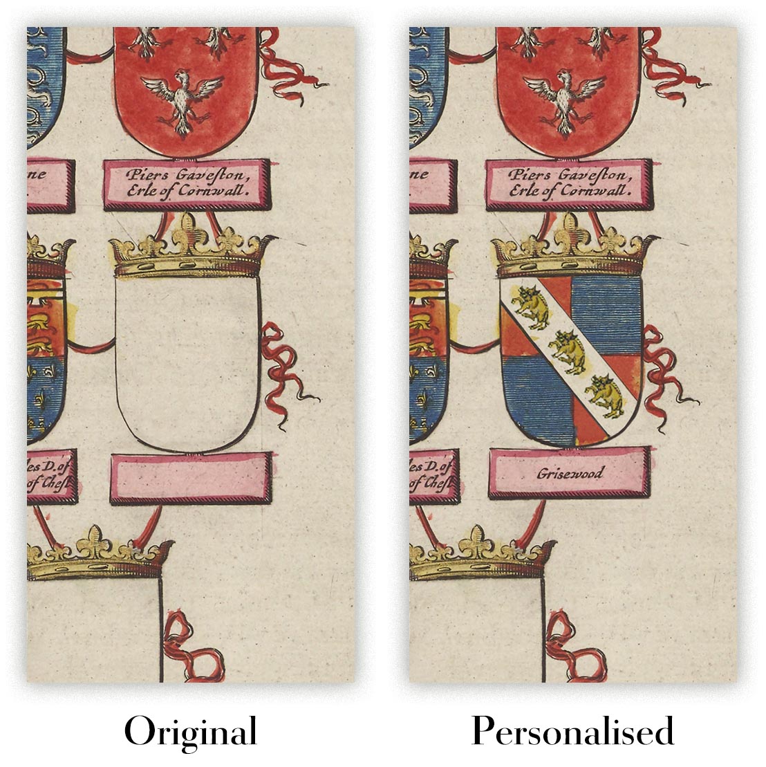
Personalización de mapas
Si está buscando el regalo perfecto de aniversario o inauguración de la casa, puedo personalizar su mapa para hacerlo verdaderamente único. Por ejemplo, puedo agregar un mensaje corto, resaltar una ubicación importante o agregar el escudo de armas de su familia.
Las opciones son casi infinitas. Por favor mira mi página de personalización de mapas para ver algunos maravillosos ejemplos de lo que es posible.
Para pedir un mapa personalizado, seleccione "personalizar su mapa" antes de agregarlo a su carrito.
Ponerse en contacto si buscas personalizaciones y personalizaciones más complejas.
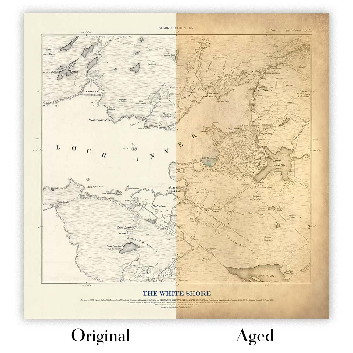
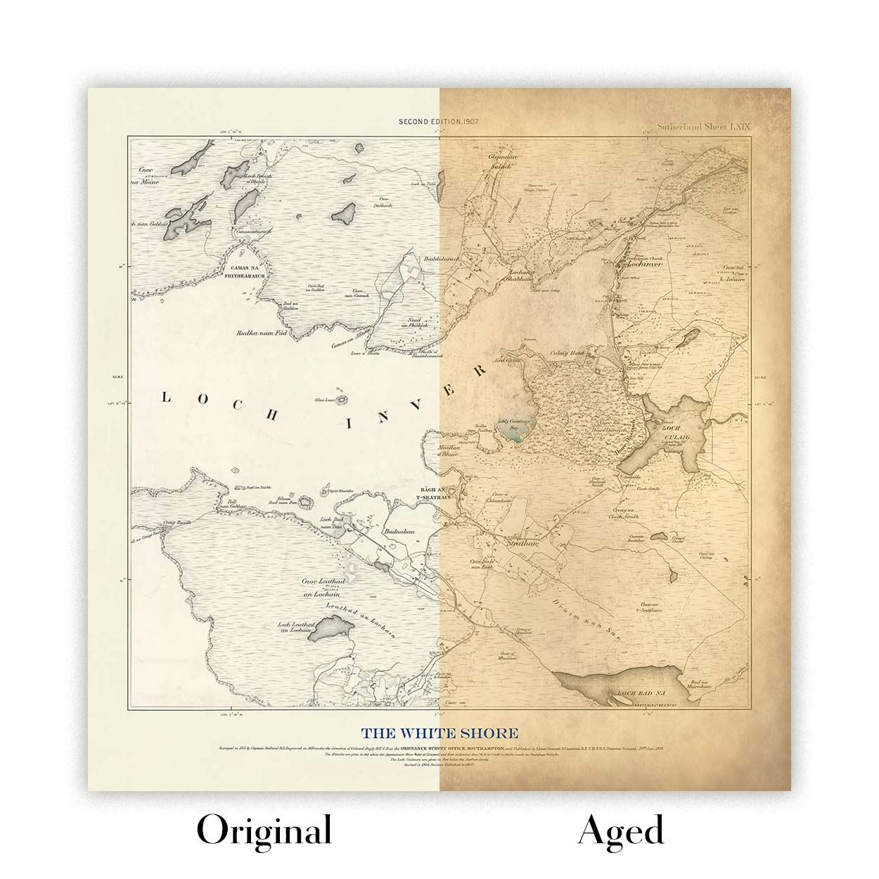
Envejecimiento del mapa
A lo largo de los años, los clientes me han preguntado cientos de veces si podían comprar un mapa que se viera uniforme. más viejo.
Bueno, ahora puedes hacerlo seleccionando Envejecido antes de agregar un mapa a tu carrito.
Todas las fotografías de productos que ve en esta página muestran el mapa en su forma original. Así es como se ve el mapa hoy.
Si selecciona Envejecido, envejeceré su mapa a mano, usando un proceso especial y único desarrollado a través de años de estudiar mapas antiguos, hablar con investigadores para comprender la química del envejecimiento del papel y, por supuesto... ¡mucha práctica!
Si no estás seguro, quédate con el color original del mapa. Si quieres algo un poco más oscuro y más viejo buscando, opte por Envejecido.
Llevamos restaurando y produciendo mapas y láminas artísticas desde 1984, y respondemos por cada pieza.
Todos los pedidos están cubiertos por nuestra garantía de 10 años y nuestra garantía de entrega sin daños. Si su pieza llega dañada, la sustituiremos o la volveremos a producir sin cargo alguno. Si cualquier otro aspecto no es correcto, contacte con nuestro equipo de taller y lo resolveremos con prontitud.
Consulte nuestra política de devoluciones y reembolsos para conocer todos los detalles.


