













Rare Old Physiographic Map of Illinois by Bier, 1956: Chicago, Miss. & Ill. Rivers, Shawnee Hills, Driftless, Glacial Limit
Entrega navideña y regalos

Envíelo directamente al destinatario
Añada un mensaje de regalo en su cesta y, a continuación, introduzca la dirección de entrega del destinatario al finalizar la compra. Imprimiremos su mensaje en una tarjeta. No se incluyen precios en el paquete.
Plazos de entrega
La entrega estándar es gratuita en todo el mundo y suele tardar alrededor de 3 días laborables. ¿Envía un regalo al extranjero? Producimos la mayoría de los pedidos localmente, en el país del destinatario.
Prevea tiempo adicional para el diseño y la aprobación de la prueba en los pedidos personalizados. Ver detalles de entrega.
Devoluciones: Los pedidos estándar pueden devolverse o cambiarse dentro de los 90 días posteriores a la entrega. Las piezas personalizadas y hechas a medida suelen quedar excluidas de las devoluciones por cambio de opinión. Consulte nuestra política de devoluciones.
Oferta de Black Friday
Elija un artículo y obtenga un 20 % de descuento.
Elija dos obras y reciba un 25 % de descuento en ambas. Puede combinar y mezclar tanto mapas como obras de arte.
No se requiere ningún código. La oferta se aplica automáticamente.
Términos y condiciones completos
La Oferta del Coleccionista se aplica a las obras elegibles en configuraciones estándar hechas por encargo. Se excluyen los tamaños a medida, los diseños personalizados y los trabajos por encargo. Los productos con “personalised” o “custom” en su nombre generalmente están excluidos.
La oferta se administra como dos descuentos automáticos independientes: uno para formatos pequeños y otro para formatos grandes. Para poder beneficiarse, debe comprar dos obras elegibles dentro del mismo grupo de formato. Los mapas y las impresiones artísticas pueden combinarse dentro de cada grupo.
Por ejemplo, dos impresiones elegibles en A4 o de 8 × 10 in dan derecho a un 25 % de descuento en ambas. Una impresión de formato pequeño y una obra de formato grande no dan derecho conjuntamente, ya que los artículos de diferentes grupos de formato no pueden combinarse para cumplir el requisito de dos artículos.
No se requiere ningún código de descuento. Cualquier descuento aplicable se aplica automáticamente en su cesta y al finalizar la compra.
Elige el formato
Elige el acabado


(Más información)
Mensaje de regalo y acabado personalizado

Si deseas agregar un mensaje de regalo, o un acabado (rompecabezas, tablero de aluminio, etc.) que no esté disponible aquí, por favor solicítalo en la "nota del pedido" cuando realices la compra.
Cada pedido es hecho a medida, así que si necesitas que el tamaño se ajuste ligeramente, o que se imprima en un material inusual, háznoslo saber. Hemos realizado miles de pedidos personalizados a lo largo de los años, así que hay (casi) nada que no podamos gestionar.
También puedes contactarnos antes de hacer tu pedido, ¡si lo prefieres!
- Hecho en Australia. Entrega segura
- Llega perfecto o lo reemplazamos
-
Entrega y regalos de Navidad Entrega navideña y regalos
![Ver un ejemplo a tamaño completo de la tarjeta impresa con mensaje de regalo]()
Envíelo directamente al destinatario
Añada un mensaje de regalo en su cesta y, a continuación, introduzca la dirección de entrega del destinatario al finalizar la compra. Imprimiremos su mensaje en una tarjeta. No se incluyen precios en el paquete.
Plazos de entrega
La entrega estándar es gratuita en todo el mundo y suele tardar alrededor de 3 días laborables. ¿Envía un regalo al extranjero? Producimos la mayoría de los pedidos localmente, en el país del destinatario.
Prevea tiempo adicional para el diseño y la aprobación de la prueba en los pedidos personalizados. Ver detalles de entrega.
Devoluciones: Los pedidos estándar pueden devolverse o cambiarse dentro de los 90 días posteriores a la entrega. Las piezas personalizadas y hechas a medida suelen quedar excluidas de las devoluciones por cambio de opinión. Consulte nuestra política de devoluciones.
- ¿Necesitas ayuda para hacer tu pedido?
En palabras de nuestros clientes
Más de 8.000 reseñas de cinco estrellas de todo el mundo


Landforms of Illinois (1956) by James A. Bier, produced for the State Geological Survey, Department of Registration and Education for the State...
Seguir leyendoLandforms of Illinois (1956) by James A. Bier, produced for the State Geological Survey, Department of Registration and Education for the State of Illinois, is a masterclass in scientific cartography. Grounded in U.S. Geological Survey topographic quadrangles, it distills a vast body of field knowledge into a lucid portrait of the Prairie State’s terrain. Administrative boundaries and named cities are interlaced with the deep-time story: drainage traces, landform profiles, spot heights, and a crisply drawn limit of glaciation reveal how ice, water, and time sculpted Illinois. The composition fuses clarity with authority, inviting both casual viewing and close study. As a historical document, it captures the state of mid‑century geological understanding while remaining a remarkably current guide to the lay of the land.
Bier’s draftsmanship is quintessentially mid‑20th‑century: intricate line work, firm yet lyrical hachures, and disciplined shading translate subtle relief into legible form. Contours and drainage networks read like musical notation, with the Mississippi and Illinois Rivers carrying the score while tributaries elaborate the theme. Spot heights punctuate the surface, orienting the eye to divides and basins. An inset of the state’s physiographic divisions functions as a key, framing the Till Plains, hill belts, and river lowlands so the main sheet’s textures fall instantly into place. Overprinted county lines and municipalities add a human frame of reference without overwhelming the geomorphology—a careful balance that reflects the Survey’s pedagogical mission and Bier’s precision, making the map equally at home in the seminar room and the connoisseur’s library.
The elegantly traced limit of glaciation is the narrative hinge of this composition. North and central Illinois appear as a quilt of moraines, outwash plains, and lakebeds—signatures of retreating ice—while beyond the line, older uplands emerge. In the far northwest, the rugged cuestas and ravines of the Driftless corner near Galena stand apart, their unplaned slopes dramatized by Bier’s shading. Southward, the Shawnee Hills rise as a sandstone stronghold above the surrounding lowlands, foreshadowing the confluence country at Cairo where the Ohio meets the Mississippi. Spot heights quietly fix extremes—from the uplifts around Charles Mound to the broad alluvial bottoms along the big rivers—while braided drainage shows how meltwater, then meandering streams, organized the prairie. The result is a coherent story of ice, rock, and flow.
Human settlement reads here as a patient response to topography and water. Chicago and its Cook County neighbors—Cicero, Evanston, Oak Park—align with the Lake Michigan shore and low divides that feed the Des Plaines and Chicago Rivers, while Waukegan perches on the lake‑front bluffs. West and southwest, Naperville and Lombard trace the DuPage system; Joliet anchors the Des Plaines as it bends toward the Illinois River, gateway to the state’s central artery. Belleville and Edwardsville rise on ground overlooking the American Bottom opposite St. Louis, where levees and terraces step up from the Mississippi’s floodplain. By overlaying administrative boundaries atop drainage and relief, Bier enables planners, historians, and naturalists to read industry, agriculture, and transport as outgrowths of valleys, moraines, and passes.
James A. Bier brings a scholar’s restraint and an artist’s eye to the page, shaping information into insight. Working with the State Geological Survey at a time when Illinois was modernizing at speed, he fused the precision of U.S. Geological Survey base quadrangles with interpretive clarity, producing a sheet that communicates across disciplines. Every symbol choice serves comprehension: rivers are expressive without clutter; towns guide orientation without dictating it; the physiographic inset distills theory into practice. The map endures as both a mid‑century statement of knowledge and a timeless key to landscape literacy. For geographers and historians, it is a primary source; for collectors, it is a quietly dazzling encapsulation of the forces—glacial, fluvial, and human—that made Illinois.
Cities and towns on this map
- Chicago
- Cicero
- Evanston
- Oak Park
- Naperville
- Lombard
- Waukegan
- Joliet
- Belleville
- Edwardsville
Notable Features & Landmarks
- Limit of Glaciation line
- Spot Heights
- Drainage Systems
- Administrative Boundaries
- Physiographic Divisions (inset)
- Major Rivers (e.g., Mississippi and Illinois Rivers)
- Towns and Cities
Historical and design context
- Map Name: Landforms of Illinois
- Creation Year: 1956
- Mapmaker: James A. Bier
- Publisher: State Geological Survey, Department of Registration and Education for the State of Illinois
- Based on U.S. Geological Survey topographic quadrangles
- Serves as a historical document and a resource for understanding Illinois’ physical geography
- Intricate mid-20th-century line work with shading and contour lines to depict varied terrain
Please double check the images to make sure that a specific town or place is shown on this map. You can also get in touch and ask us to check the map for you.
This map looks great at every size, but I always recommend going for a larger size if you have space. That way you can easily make out all of the details.
This map looks amazing at sizes all the way up to 100in (250cm). If you are looking for a larger map, please get in touch.
Please note: the labels on this map are hard to read if you order a map that is 16in (40cm) or smaller. The map is still very attractive, but if you would like to read the map easily, please buy a larger size.
This map is taller than most, which would make it a perfect statement piece in a panelled room, on a gallery wall, or perhaps alongside another tall piece of art or furniture.
The fifth listing image shows an example of my map personalisation service.
If you’re looking for something slightly different, check out my collection of the best old maps to see if something else catches your eye.
Please contact me to check if a certain location, landmark or feature is shown on this map.
This would make a wonderful birthday, Christmas, Father's Day, work leaving, anniversary or housewarming gift for someone from the areas covered by this map.
This map is available as a giclée print on acid free archival matte paper, or you can buy it framed. The frame is a nice, simple black frame that suits most aesthetics. Please get in touch if you'd like a different frame colour or material. My frames are glazed with super-clear museum-grade acrylic (perspex/acrylite), which is significantly less reflective than glass, safer, and will always arrive in perfect condition.
This map is also available as a float framed canvas, sometimes known as a shadow gap framed canvas or canvas floater. The map is printed on artist's cotton canvas and then stretched over a handmade box frame. We then "float" the canvas inside a wooden frame, which is available in a range of colours (black, dark brown, oak, antique gold and white). This is a wonderful way to present a map without glazing in front. See some examples of float framed canvas maps and explore the differences between my different finishes.
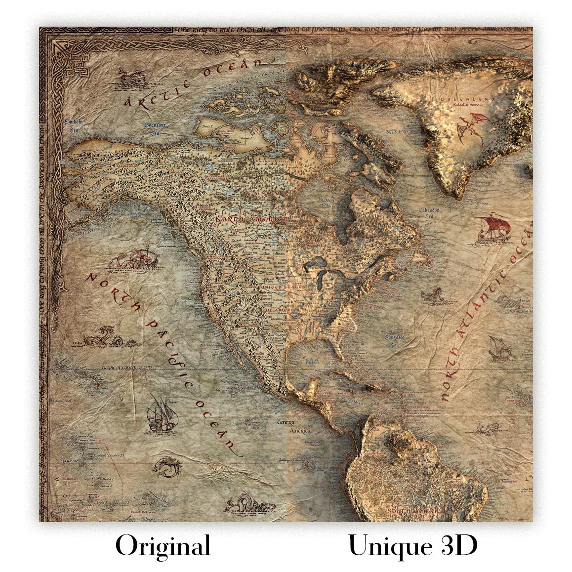
For something truly unique, this map is also available in "Unique 3D", our trademarked process that dramatically transforms the map so that it has a wonderful sense of depth. We combine the original map with detailed topography and elevation data, so that mountains and the terrain really "pop". For more info and examples of 3D maps, check my Unique 3D page.
Landforms of Illinois (1956) by James A. Bier, produced for the State Geological Survey, Department of Registration and Education for the State of Illinois, is a masterclass in scientific cartography. Grounded in U.S. Geological Survey topographic quadrangles, it distills a vast body of field knowledge into a lucid portrait of the Prairie State’s terrain. Administrative boundaries and named cities are interlaced with the deep-time story: drainage traces, landform profiles, spot heights, and a crisply drawn limit of glaciation reveal how ice, water, and time sculpted Illinois. The composition fuses clarity with authority, inviting both casual viewing and close study. As a historical document, it captures the state of mid‑century geological understanding while remaining a remarkably current guide to the lay of the land.
Bier’s draftsmanship is quintessentially mid‑20th‑century: intricate line work, firm yet lyrical hachures, and disciplined shading translate subtle relief into legible form. Contours and drainage networks read like musical notation, with the Mississippi and Illinois Rivers carrying the score while tributaries elaborate the theme. Spot heights punctuate the surface, orienting the eye to divides and basins. An inset of the state’s physiographic divisions functions as a key, framing the Till Plains, hill belts, and river lowlands so the main sheet’s textures fall instantly into place. Overprinted county lines and municipalities add a human frame of reference without overwhelming the geomorphology—a careful balance that reflects the Survey’s pedagogical mission and Bier’s precision, making the map equally at home in the seminar room and the connoisseur’s library.
The elegantly traced limit of glaciation is the narrative hinge of this composition. North and central Illinois appear as a quilt of moraines, outwash plains, and lakebeds—signatures of retreating ice—while beyond the line, older uplands emerge. In the far northwest, the rugged cuestas and ravines of the Driftless corner near Galena stand apart, their unplaned slopes dramatized by Bier’s shading. Southward, the Shawnee Hills rise as a sandstone stronghold above the surrounding lowlands, foreshadowing the confluence country at Cairo where the Ohio meets the Mississippi. Spot heights quietly fix extremes—from the uplifts around Charles Mound to the broad alluvial bottoms along the big rivers—while braided drainage shows how meltwater, then meandering streams, organized the prairie. The result is a coherent story of ice, rock, and flow.
Human settlement reads here as a patient response to topography and water. Chicago and its Cook County neighbors—Cicero, Evanston, Oak Park—align with the Lake Michigan shore and low divides that feed the Des Plaines and Chicago Rivers, while Waukegan perches on the lake‑front bluffs. West and southwest, Naperville and Lombard trace the DuPage system; Joliet anchors the Des Plaines as it bends toward the Illinois River, gateway to the state’s central artery. Belleville and Edwardsville rise on ground overlooking the American Bottom opposite St. Louis, where levees and terraces step up from the Mississippi’s floodplain. By overlaying administrative boundaries atop drainage and relief, Bier enables planners, historians, and naturalists to read industry, agriculture, and transport as outgrowths of valleys, moraines, and passes.
James A. Bier brings a scholar’s restraint and an artist’s eye to the page, shaping information into insight. Working with the State Geological Survey at a time when Illinois was modernizing at speed, he fused the precision of U.S. Geological Survey base quadrangles with interpretive clarity, producing a sheet that communicates across disciplines. Every symbol choice serves comprehension: rivers are expressive without clutter; towns guide orientation without dictating it; the physiographic inset distills theory into practice. The map endures as both a mid‑century statement of knowledge and a timeless key to landscape literacy. For geographers and historians, it is a primary source; for collectors, it is a quietly dazzling encapsulation of the forces—glacial, fluvial, and human—that made Illinois.
Cities and towns on this map
- Chicago
- Cicero
- Evanston
- Oak Park
- Naperville
- Lombard
- Waukegan
- Joliet
- Belleville
- Edwardsville
Notable Features & Landmarks
- Limit of Glaciation line
- Spot Heights
- Drainage Systems
- Administrative Boundaries
- Physiographic Divisions (inset)
- Major Rivers (e.g., Mississippi and Illinois Rivers)
- Towns and Cities
Historical and design context
- Map Name: Landforms of Illinois
- Creation Year: 1956
- Mapmaker: James A. Bier
- Publisher: State Geological Survey, Department of Registration and Education for the State of Illinois
- Based on U.S. Geological Survey topographic quadrangles
- Serves as a historical document and a resource for understanding Illinois’ physical geography
- Intricate mid-20th-century line work with shading and contour lines to depict varied terrain
Please double check the images to make sure that a specific town or place is shown on this map. You can also get in touch and ask us to check the map for you.
This map looks great at every size, but I always recommend going for a larger size if you have space. That way you can easily make out all of the details.
This map looks amazing at sizes all the way up to 100in (250cm). If you are looking for a larger map, please get in touch.
Please note: the labels on this map are hard to read if you order a map that is 16in (40cm) or smaller. The map is still very attractive, but if you would like to read the map easily, please buy a larger size.
This map is taller than most, which would make it a perfect statement piece in a panelled room, on a gallery wall, or perhaps alongside another tall piece of art or furniture.
The fifth listing image shows an example of my map personalisation service.
If you’re looking for something slightly different, check out my collection of the best old maps to see if something else catches your eye.
Please contact me to check if a certain location, landmark or feature is shown on this map.
This would make a wonderful birthday, Christmas, Father's Day, work leaving, anniversary or housewarming gift for someone from the areas covered by this map.
This map is available as a giclée print on acid free archival matte paper, or you can buy it framed. The frame is a nice, simple black frame that suits most aesthetics. Please get in touch if you'd like a different frame colour or material. My frames are glazed with super-clear museum-grade acrylic (perspex/acrylite), which is significantly less reflective than glass, safer, and will always arrive in perfect condition.
This map is also available as a float framed canvas, sometimes known as a shadow gap framed canvas or canvas floater. The map is printed on artist's cotton canvas and then stretched over a handmade box frame. We then "float" the canvas inside a wooden frame, which is available in a range of colours (black, dark brown, oak, antique gold and white). This is a wonderful way to present a map without glazing in front. See some examples of float framed canvas maps and explore the differences between my different finishes.
For something truly unique, this map is also available in "Unique 3D", our trademarked process that dramatically transforms the map so that it has a wonderful sense of depth. We combine the original map with detailed topography and elevation data, so that mountains and the terrain really "pop". For more info and examples of 3D maps, check my Unique 3D page.
Muchos de nuestros mapas y láminas de arte se eligen como regalos considerados para hogares, oficinas, despachos y lugares con significado.
Elija una opción enmarcada para el regalo más fácil, listo para colgar, o elija una impresión sin enmarcar si el destinatario prefiere seleccionar su propio marco.
Realizamos los pedidos localmente en 24 países de todo el mundo, por lo que los regalos a menudo pueden producirse cerca del destinatario. Esto ayuda a que lleguen más rápido, viajen con mayor seguridad y eviten sorpresas de aduanas o aranceles de importación.
- Podemos entregar directamente al destinatario. No se incluye información de precio.
- Se puede añadir un mensaje de regalo a su pedido. Lo imprimiremos en una bonita tarjeta.
- Las piezas enmarcadas llegan listas para colgar
- Las impresiones sin enmarcar se embalan cuidadosamente en un tubo protector resistente
- Casi todos los pedidos se realizan localmente, para regalar de forma más rápida y segura
- Las devoluciones de 90 días dan al destinatario tiempo para decidir
Si no está seguro de qué elegir, póngase en contacto con nosotros. Podemos ayudarle a elegir el mapa, tamaño, acabado u opción de entrega adecuados.
Para la mayoría de los pedidos, el tiempo de entrega es de aproximadamente 3 días laborables. Los productos personalizados y a medida tardan más, ya que tengo que hacer la personalización y enviártelo para su aprobación, lo cual suele tardar 1 o 2 días.
Tenga en cuenta que los pedidos enmarcados muy grandes suelen tardar más en fabricarse y entregarse.
Si necesitas que tu pedido llegue para una fecha determinada, por favor contáctame antes de hacer el pedido para que podamos encontrar la mejor manera de asegurarnos de que recibas tu pedido a tiempo.
Imprimo y enmarco mapas y obras de arte en 23 países alrededor del mundo. Esto significa que tu pedido se fabricará localmente, lo que reduce el tiempo de entrega y asegura que no se dañe durante el envío. Nunca pagarás aranceles de aduana o impuestos de importación, y pondremos menos CO2 en el aire.
Todos mis mapas y impresiones artísticas están bien empaquetados y enviados en un tubo resistente si no están enmarcados, o rodeados de espuma si están enmarcados.
Intento enviar todos los pedidos dentro de 1 o 2 días después de recibir tu pedido, aunque algunos productos (como mascarillas, tazas y bolsas de tela) pueden tardar más en fabricarse.
Si seleccionas Entrega Exprés al finalizar la compra, priorizaremos tu pedido y lo enviaremos por mensajería de 1 día (Fedex, DHL, UPS, Parcelforce).
La entrega al día siguiente también está disponible en algunos países (EE. UU., Reino Unido, Singapur, EAU), pero por favor intenta hacer tu pedido temprano en el día para que podamos enviarlo a tiempo.
Mi marco estándar es un marco de madera de fresno negro estilo galería. Es simple y tiene un aspecto bastante moderno. Mi marco estándar tiene alrededor de 20 mm (0.8 in) de ancho.
Utilizo acrílico super claro (perspex/acrylite) para el vidrio del marco. Es más ligero y seguro que el vidrio, y se ve mejor, ya que la reflectividad es menor.
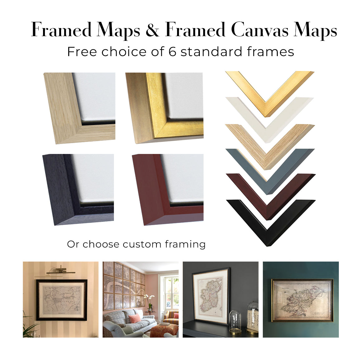
Seis colores de marco estándar están disponibles de forma gratuita (negro, marrón oscuro, gris oscuro, roble, blanco y oro antiguo).El enmarcado y montaje/matizado personalizado está disponible si buscas algo diferente.
La mayoría de los mapas, arte e ilustraciones también están disponibles como un lienzo enmarcado. Utilizamos lienzo de algodón mate (no brillante), lo estiramos sobre un marco de madera de caja de origen sostenible, y luego 'flotamos' la pieza dentro de un marco de madera. El resultado final es bastante hermoso, y no hay cristal que se interponga.
Todos los marcos se proporcionan "listos para colgar", con una cuerda o soportes en la parte posterior. Los marcos muy grandes tendrán placas de colgar de alta resistencia y/o un listón de montaje. Si tienes alguna pregunta, por favor ponte en contacto.
Mira algunos ejemplos de mis mapas enmarcados y mapas en lienzo enmarcados.
Alternativamente, también puedo proporcionar mapas antiguos y obras de arte en lienzo, tablero de espuma, papel de algodón y otros materiales.
Si deseas enmarcar tu mapa o obra de arte tú mismo, por favor lee mi guía de tamaños primero.
Trabajamos con diseñadores de interiores, negocios de hostelería, profesionales del sector inmobiliario, oficinas y compradores corporativos tanto en piezas individuales como en proyectos coordinados de mayor envergadura.
Este mapa puede adaptarse a una pared, estancia o proyecto concretos, y nuestro taller puede ayudar a coordinar las dimensiones, el material y el enmarcado antes de la producción.
- Dimensiones exactas, de gran formato y a medida
- Enmarcado, montaje y materiales alternativos personalizados
- Piezas coordinadas para varias habitaciones o ubicaciones
- Personalización del mapa para señalar ubicaciones importantes o añadir detalles adicionales
- Asesoramiento sobre el mapa y el enmarcado por parte de nuestro taller
- Producción local para proyectos en todo el mundo
Mis mapas son reproducciones de mapas originales de altísima calidad.
Obtengo mapas originales y raros de bibliotecas, casas de subastas y colecciones privadas de todo el mundo, los restauro en mi taller de Londres y luego uso tintas e impresoras giclée especializadas para crear hermosos mapas que lucen incluso mejor que el original.
Mis mapas están impresos en papel de archivo mate (no brillante) sin ácido que se siente de muy alta calidad y casi como una tarjeta. En términos técnicos, el peso/grosor del papel es de 10 mil/200 g/m². Es perfecto para enmarcar.
Imprimo con tintas pigmentadas Epson ultrachrome giclée UV resistentes a la decoloración, algunas de las mejores tintas que puedes encontrar.
yo también puedo hacer mapas sobre lienzo, trapo de algodón y otros materiales exóticos.
Obtenga más información sobre The Unique Maps Co..
Personalización de mapas
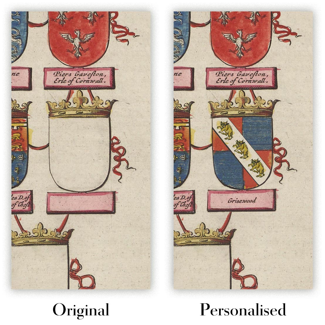
Si está buscando el regalo perfecto de aniversario o inauguración de la casa, puedo personalizar su mapa para hacerlo verdaderamente único. Por ejemplo, puedo agregar un mensaje corto, resaltar una ubicación importante o agregar el escudo de armas de su familia.
Las opciones son casi infinitas. Por favor mira mi página de personalización de mapas para ver algunos maravillosos ejemplos de lo que es posible.
Para pedir un mapa personalizado, seleccione "personalizar su mapa" antes de agregarlo a su carrito.
Ponerse en contacto si buscas personalizaciones y personalizaciones más complejas.
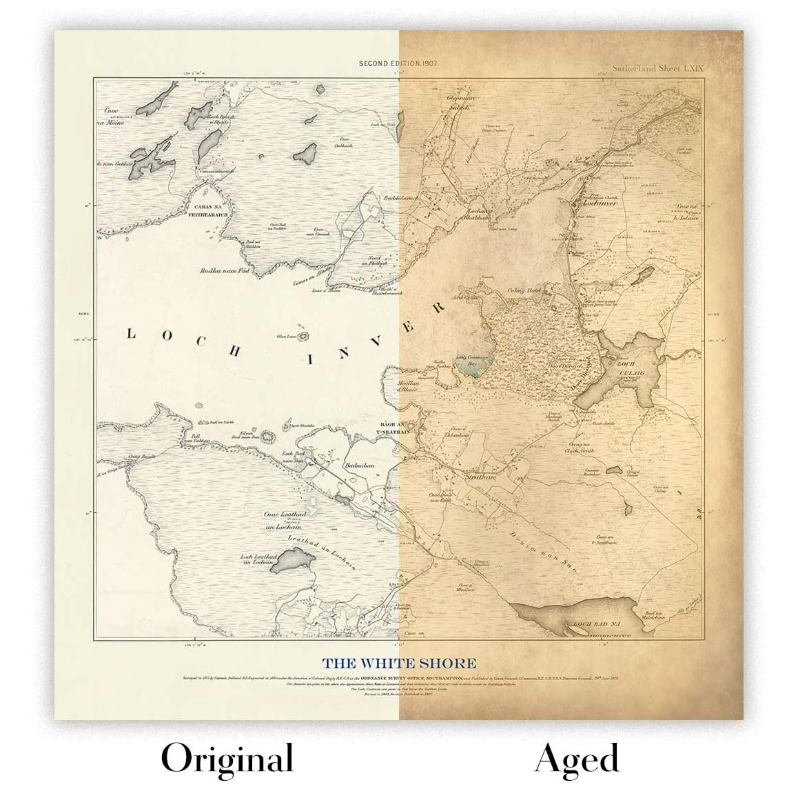
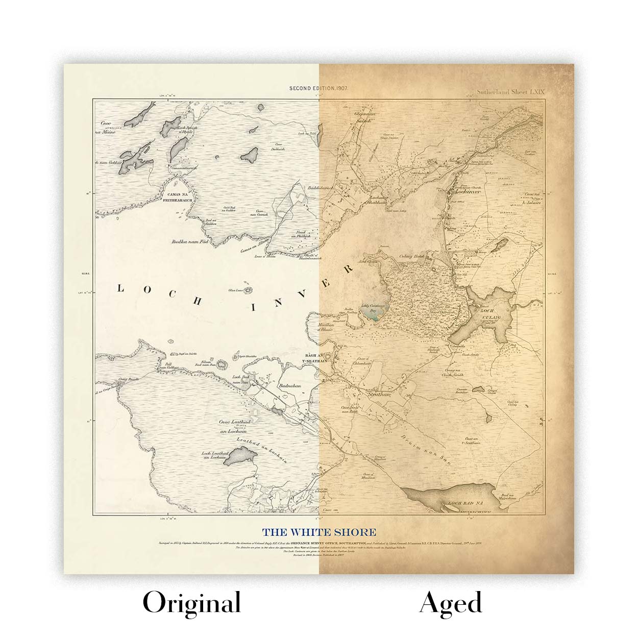
Envejecimiento del mapa
A lo largo de los años, los clientes me han preguntado cientos de veces si podían comprar un mapa que se viera uniforme. más viejo.
Bueno, ahora puedes hacerlo seleccionando Envejecido antes de agregar un mapa a tu carrito.
Todas las fotografías de productos que ve en esta página muestran el mapa en su forma original. Así es como se ve el mapa hoy.
Si selecciona Envejecido, envejeceré su mapa a mano, usando un proceso especial y único desarrollado a través de años de estudiar mapas antiguos, hablar con investigadores para comprender la química del envejecimiento del papel y, por supuesto... ¡mucha práctica!
Si no estás seguro, quédate con el color original del mapa. Si quieres algo un poco más oscuro y más viejo buscando, opte por Envejecido.
Llevamos restaurando y produciendo mapas y láminas artísticas desde 1984, y respondemos por cada pieza.
Todos los pedidos están cubiertos por nuestra garantía de 10 años y nuestra garantía de entrega sin daños. Si su pieza llega dañada, la sustituiremos o la volveremos a producir sin cargo alguno. Si cualquier otro aspecto no es correcto, contacte con nuestro equipo de taller y lo resolveremos con prontitud.
Consulte nuestra política de devoluciones y reembolsos para conocer todos los detalles.


