














Rare Old Map of Jews in Africa & Yemen by Godbey, 1930: Migrations, Cairo, Aksum, Ghanata, Timbuktu, Aden
Restored in our London workshop from the original 1930 map and printed to museum-grade archival standards. Full description
The Collector’s Offer
Choose two eligible works and receive 20% off both. Choose three and the lowest-priced one is complimentary, a maximum saving of 33%.
Mix and match eligible standard maps and fine-art prints. No code is required; the offer is applied automatically at checkout.
Standard made-to-order configurations are included. Bespoke sizes, personalised designs and commissioned work are excluded.
Need delivery to different addresses? Contact us before ordering.The Collector’s Offer
Choose two eligible works and receive 20% off both. Choose three and the lowest-priced one is complimentary, a maximum saving of 33%.
Mix and match eligible standard maps and fine-art prints. No code is required; the offer is applied automatically at checkout.
Standard made-to-order configurations are included. Bespoke sizes, personalised designs and commissioned work are excluded.
Need delivery to different addresses? Contact us before ordering. Restored in London • Printed and framed in Australia

Restored from the original 1930 map and printed to museum-grade archival standards. Full description
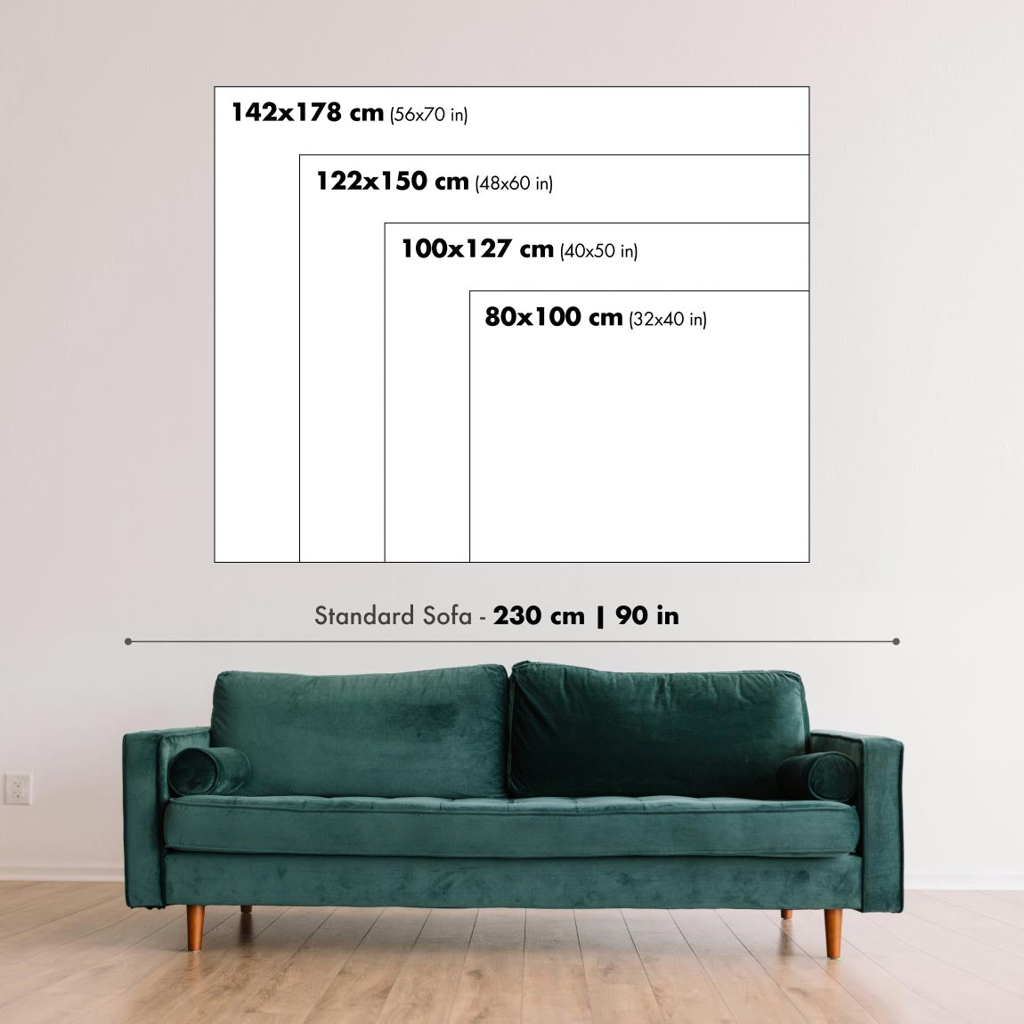
Choose your size
Choose your finish


(More info)
Gift message & custom finish

If you want to add a gift message, or a finish (jigsaw, aluminium board, etc.) that is not available here, please request it in the "order note" when you check out.
Every order is custom made, so if you need the size adjusted slightly, or printed on an unusual material, just let us know. We've done thousands of custom orders over the years, so there's (almost) nothing we can't manage.
You can also contact us before you order, if you prefer!
Own a piece of history
8,000+ five-star reviews


Created in 1930 by thematic cartographer Allen Godbey, this incisive map charts the interwoven histories of Yemenite, Berber, and sub‑Saharan Jewish communities...
Continue readingCreated in 1930 by thematic cartographer Allen Godbey, this incisive map charts the interwoven histories of Yemenite, Berber, and sub‑Saharan Jewish communities across North Africa and the Near East. Its spare, annotation‑rich design privileges historical narrative over ornament, guiding the eye from Egypt and the Nile valley through Libya, Morocco, and the vast Sahara Desert to the Niger bend. Godbey’s red‑and‑black typographic hierarchy highlights pivotal loci—Cairo, Aksum, Abyssinia, and the Somali Coast—while calling out the much‑discussed Jewish kingdom of Ghanata. The map’s cultural notes, citations, and “Comparative” cues invite the viewer to read it as a documentary essay on movement and memory. Period terminology appears on the sheet; the language reflects its time while pointing to enduring questions about identity, diaspora, and exchange.
Godbey reconstructs eastern corridors of movement from Yemen and Aden across the Red Sea into the highlands of Ethiopia, referencing Aksumite power and long‑standing Jewish communities often labeled historically as “Falasha” (today, Beta Israel). The map traces plausible routes along the Somali Coast and up the Nile through Sudan toward Egypt, with Cairo emerging as a cosmopolitan hinge between Africa and the Levant. Classical voices—marked as “Pliny’s Account”—stand alongside “Navigator’s Routes,” bridging textual antiquity and more recent itineraries. The Sahara’s stark delineation underscores how deserts and rivers shaped possibilities, channeling crossings at oases and headwaters while buffering cultural frontiers that, nonetheless, remained permeable to trade, belief, and kinship networks.
Westward, the sheet follows trans‑Saharan caravan paths through Berber and Moorish regions, connecting Morocco and the Maghreb to Timbuktu and the Niger. Along these gold‑and‑salt arteries, Godbey situates Jewish traders and enclaves, culminating in the highlighted “Ghanata,” a polity drawn from medieval notices that some sources cast as distinctly Judaic. By placing Ghanata astride major routes, the map foregrounds how commerce knitted together religious minorities and imperial economies alike. It hints at scholarly debates—Arabic geographers, Hebrew chroniclers, and later travelers—without breaking the cartographic spell, evoking a world where manuscripts, oral histories, and the footprints of caravans collectively trace the past.
The map’s annotations extend south and east to regions such as Nuba and Gaboon, indicating camps, settlements, and remembered waypoints that broaden the scope beyond familiar heartlands. Topographic cues—deserts, river veins, and corridors of passage—structure a narrative in which geography is destiny, but not determinism. References to Khebar recall the famed Arabian oasis of Jewish antiquity as a conceptual anchor for Red Sea crossings; Aksum, Abyssinia, and Egypt triangulate exchanges with the Indian Ocean and Mediterranean worlds. By juxtaposing citations, cultural notes, and comparative references to other charts, Godbey fashions a learned palimpsest where maps converse with texts, and margins carry as much meaning as coastlines.
As a historical artifact, this work exemplifies interwar scholarship’s ambition to visualize ethnoreligious history on a continental canvas. It documents how scholars in 1930 synthesized classical testimony, medieval geography, and modern field reports to interpret Jewish presence in Africa—from Yemenite passages through Aden to Berber heartlands and the Niger’s scholarly cities. Collectors and researchers of Judaica, African history, and migration studies will value its bold hypotheses, careful sourcing, and lucid design. Beyond its data, the map offers a meditation on movement: how routes become stories, how stories become places, and how, across sands and seas, identity traces a legible course.
Places on this map
- Ghanata
- Yemen
- Ethiopia
- The Sahara Desert
- Egypt
- Libya
- Sudan
- Morocco
- Nuba
- Gaboon
- Aksum
- Cairo
- Timbuktu
- Aden
- Somali Coast
- Berber Regions
- Khebar
- Abyssinia
- Pliny's Account
- Navigator’s Routes
Notable Features & Landmarks
- Ancient Civilizations: Highlighted movements of Yemen and Negro Jews.
- Routes of Migration: Illustrations of pathways that Jewish populations may have followed.
- Jewish Kingdom of Ghanata: Detailed accounts and references to this historical kingdom.
- Citations and Annotations: Various historical notes related to the regions and peoples shown.
- Topography: Basic representation of geographical features, including deserts and rivers.
- Sahara Desert: Marked as a significant geographical barrier.
- Tribal Regions: References to Berber, Moorish, and Falasha communities.
- Camps and Settlements: Mention of Jewish communities and settlements across Africa.
- Cultural Annotations: Descriptive texts explaining the historical context of the regions.
- Comparative Cartography: Provides context to other regions and maps through text.
Historical and design context
- Map Name: Negro and Yemen Jews in Africa
- Date of Creation: 1930
- Mapmaker: Allen Godbey — known for thematic cartography focusing on historical topics; emphasizes cultural and ethnic narratives in geography.
- Extra Notes: Presents an unusual depiction of ancient civilizations and movements of Yemen, Berber, and Negro Jews in Africa; highlights the Jewish kingdom of Ghanata.
- Topics and Themes: Jewish migrations and settlements across Africa, with depictions of ancient kingdoms and civilizations relevant to Jewish history.
- Countries/Regions Shown: Primarily North Africa and parts of the Middle East; likely includes Egypt, Ethiopia, Morocco, Sudan, and surrounding areas.
- Design/Style: Uses red and black text for labeling; minimalist cartographic style emphasizing historical annotations over decorative elements.
- Historical Significance: Serves as a documentary resource on the historical presence and movements of Jewish populations in Africa; offers insight into how Jewish history interweaves with broader African demographics and ancient civilizations.
Please double check the images to make sure that a specific town or place is shown on this map. You can also get in touch and ask us to check the map for you.
This map looks great at every size, but I always recommend going for a larger size if you have space. That way you can easily make out all of the details.
This map looks amazing at sizes all the way up to 50in (125cm). If you are looking for a larger map, please get in touch.
The model in the listing images is holding the 24x36in (60x90cm) version of this map.
The fifth listing image shows an example of my map personalisation service.
If you’re looking for something slightly different, check out my collection of the best old maps to see if something else catches your eye.
Please contact me to check if a certain location, landmark or feature is shown on this map.
This would make a wonderful birthday, Christmas, Father's Day, work leaving, anniversary or housewarming gift for someone from the areas covered by this map.
This map is available as a giclée print on acid free archival matte paper, or you can buy it framed. The frame is a nice, simple black frame that suits most aesthetics. Please get in touch if you'd like a different frame colour or material. My frames are glazed with super-clear museum-grade acrylic (perspex/acrylite), which is significantly less reflective than glass, safer, and will always arrive in perfect condition.
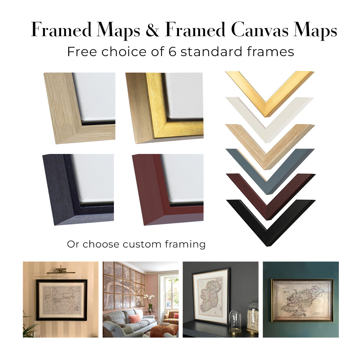
This map is also available as a float framed canvas, sometimes known as a shadow gap framed canvas or canvas floater. The map is printed on artist's cotton canvas and then stretched over a handmade box frame. We then "float" the canvas inside a wooden frame, which is available in a range of colours (black, dark brown, oak, antique gold and white). This is a wonderful way to present a map without glazing in front. See some examples of float framed canvas maps and explore the differences between my different finishes.
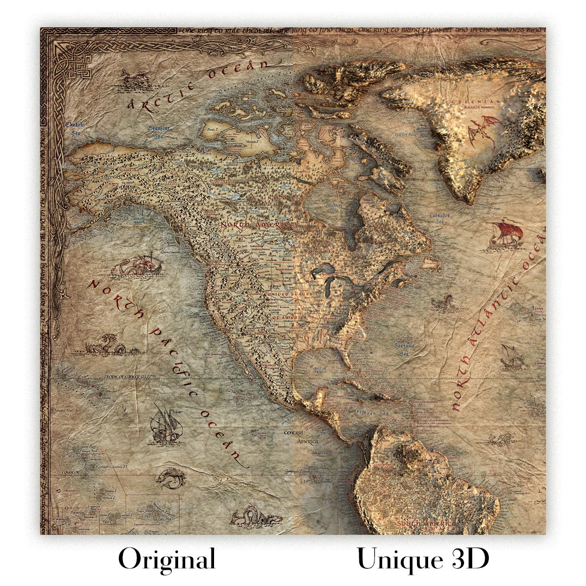
For something truly unique, this map is also available in "Unique 3D", our trademarked process that dramatically transforms the map so that it has a wonderful sense of depth. We combine the original map with detailed topography and elevation data, so that mountains and the terrain really "pop". For more info and examples of 3D maps, check my Unique 3D page.
Created in 1930 by thematic cartographer Allen Godbey, this incisive map charts the interwoven histories of Yemenite, Berber, and sub‑Saharan Jewish communities across North Africa and the Near East. Its spare, annotation‑rich design privileges historical narrative over ornament, guiding the eye from Egypt and the Nile valley through Libya, Morocco, and the vast Sahara Desert to the Niger bend. Godbey’s red‑and‑black typographic hierarchy highlights pivotal loci—Cairo, Aksum, Abyssinia, and the Somali Coast—while calling out the much‑discussed Jewish kingdom of Ghanata. The map’s cultural notes, citations, and “Comparative” cues invite the viewer to read it as a documentary essay on movement and memory. Period terminology appears on the sheet; the language reflects its time while pointing to enduring questions about identity, diaspora, and exchange.
Godbey reconstructs eastern corridors of movement from Yemen and Aden across the Red Sea into the highlands of Ethiopia, referencing Aksumite power and long‑standing Jewish communities often labeled historically as “Falasha” (today, Beta Israel). The map traces plausible routes along the Somali Coast and up the Nile through Sudan toward Egypt, with Cairo emerging as a cosmopolitan hinge between Africa and the Levant. Classical voices—marked as “Pliny’s Account”—stand alongside “Navigator’s Routes,” bridging textual antiquity and more recent itineraries. The Sahara’s stark delineation underscores how deserts and rivers shaped possibilities, channeling crossings at oases and headwaters while buffering cultural frontiers that, nonetheless, remained permeable to trade, belief, and kinship networks.
Westward, the sheet follows trans‑Saharan caravan paths through Berber and Moorish regions, connecting Morocco and the Maghreb to Timbuktu and the Niger. Along these gold‑and‑salt arteries, Godbey situates Jewish traders and enclaves, culminating in the highlighted “Ghanata,” a polity drawn from medieval notices that some sources cast as distinctly Judaic. By placing Ghanata astride major routes, the map foregrounds how commerce knitted together religious minorities and imperial economies alike. It hints at scholarly debates—Arabic geographers, Hebrew chroniclers, and later travelers—without breaking the cartographic spell, evoking a world where manuscripts, oral histories, and the footprints of caravans collectively trace the past.
The map’s annotations extend south and east to regions such as Nuba and Gaboon, indicating camps, settlements, and remembered waypoints that broaden the scope beyond familiar heartlands. Topographic cues—deserts, river veins, and corridors of passage—structure a narrative in which geography is destiny, but not determinism. References to Khebar recall the famed Arabian oasis of Jewish antiquity as a conceptual anchor for Red Sea crossings; Aksum, Abyssinia, and Egypt triangulate exchanges with the Indian Ocean and Mediterranean worlds. By juxtaposing citations, cultural notes, and comparative references to other charts, Godbey fashions a learned palimpsest where maps converse with texts, and margins carry as much meaning as coastlines.
As a historical artifact, this work exemplifies interwar scholarship’s ambition to visualize ethnoreligious history on a continental canvas. It documents how scholars in 1930 synthesized classical testimony, medieval geography, and modern field reports to interpret Jewish presence in Africa—from Yemenite passages through Aden to Berber heartlands and the Niger’s scholarly cities. Collectors and researchers of Judaica, African history, and migration studies will value its bold hypotheses, careful sourcing, and lucid design. Beyond its data, the map offers a meditation on movement: how routes become stories, how stories become places, and how, across sands and seas, identity traces a legible course.
Places on this map
- Ghanata
- Yemen
- Ethiopia
- The Sahara Desert
- Egypt
- Libya
- Sudan
- Morocco
- Nuba
- Gaboon
- Aksum
- Cairo
- Timbuktu
- Aden
- Somali Coast
- Berber Regions
- Khebar
- Abyssinia
- Pliny's Account
- Navigator’s Routes
Notable Features & Landmarks
- Ancient Civilizations: Highlighted movements of Yemen and Negro Jews.
- Routes of Migration: Illustrations of pathways that Jewish populations may have followed.
- Jewish Kingdom of Ghanata: Detailed accounts and references to this historical kingdom.
- Citations and Annotations: Various historical notes related to the regions and peoples shown.
- Topography: Basic representation of geographical features, including deserts and rivers.
- Sahara Desert: Marked as a significant geographical barrier.
- Tribal Regions: References to Berber, Moorish, and Falasha communities.
- Camps and Settlements: Mention of Jewish communities and settlements across Africa.
- Cultural Annotations: Descriptive texts explaining the historical context of the regions.
- Comparative Cartography: Provides context to other regions and maps through text.
Historical and design context
- Map Name: Negro and Yemen Jews in Africa
- Date of Creation: 1930
- Mapmaker: Allen Godbey — known for thematic cartography focusing on historical topics; emphasizes cultural and ethnic narratives in geography.
- Extra Notes: Presents an unusual depiction of ancient civilizations and movements of Yemen, Berber, and Negro Jews in Africa; highlights the Jewish kingdom of Ghanata.
- Topics and Themes: Jewish migrations and settlements across Africa, with depictions of ancient kingdoms and civilizations relevant to Jewish history.
- Countries/Regions Shown: Primarily North Africa and parts of the Middle East; likely includes Egypt, Ethiopia, Morocco, Sudan, and surrounding areas.
- Design/Style: Uses red and black text for labeling; minimalist cartographic style emphasizing historical annotations over decorative elements.
- Historical Significance: Serves as a documentary resource on the historical presence and movements of Jewish populations in Africa; offers insight into how Jewish history interweaves with broader African demographics and ancient civilizations.
Please double check the images to make sure that a specific town or place is shown on this map. You can also get in touch and ask us to check the map for you.
This map looks great at every size, but I always recommend going for a larger size if you have space. That way you can easily make out all of the details.
This map looks amazing at sizes all the way up to 50in (125cm). If you are looking for a larger map, please get in touch.
The model in the listing images is holding the 24x36in (60x90cm) version of this map.
The fifth listing image shows an example of my map personalisation service.
If you’re looking for something slightly different, check out my collection of the best old maps to see if something else catches your eye.
Please contact me to check if a certain location, landmark or feature is shown on this map.
This would make a wonderful birthday, Christmas, Father's Day, work leaving, anniversary or housewarming gift for someone from the areas covered by this map.
This map is available as a giclée print on acid free archival matte paper, or you can buy it framed. The frame is a nice, simple black frame that suits most aesthetics. Please get in touch if you'd like a different frame colour or material. My frames are glazed with super-clear museum-grade acrylic (perspex/acrylite), which is significantly less reflective than glass, safer, and will always arrive in perfect condition.
This map is also available as a float framed canvas, sometimes known as a shadow gap framed canvas or canvas floater. The map is printed on artist's cotton canvas and then stretched over a handmade box frame. We then "float" the canvas inside a wooden frame, which is available in a range of colours (black, dark brown, oak, antique gold and white). This is a wonderful way to present a map without glazing in front. See some examples of float framed canvas maps and explore the differences between my different finishes.
For something truly unique, this map is also available in "Unique 3D", our trademarked process that dramatically transforms the map so that it has a wonderful sense of depth. We combine the original map with detailed topography and elevation data, so that mountains and the terrain really "pop". For more info and examples of 3D maps, check my Unique 3D page.
Many of our maps and art prints are chosen as thoughtful gifts for homes, offices, studies and meaningful places.
Choose a framed option for the easiest ready-to-hang gift, or choose an unframed print if the recipient may prefer to select their own frame.
We make orders locally in 24 countries around the world, so gifts can often be produced close to the recipient. This helps them arrive faster, travel more safely, and avoid customs or import duty surprises.
- We can deliver directly to the recipient
- Framed pieces arrive ready to hang
- Unframed prints are carefully packed in a strong protective tube
- Almost every order is made locally, for faster, safer gifting
- 90-day returns give the recipient time to decide
If you are not sure what to choose, please contact us. We can help you pick the right map, size, finish or delivery option.
Most orders are made locally and delivered in around 2–3 working days, depending on the product, size and destination.
We print and frame maps and artwork in 24 countries around the world, so your order is usually made close to you or your recipient. That means faster delivery, less time in transit, and no customs or import duty surprises.
Personalised and customised pieces usually take an extra 1–2 working days, because we prepare your design and send it to you for approval before printing.
Very large framed orders can take a little longer, as they need extra care in production and delivery.
Every order is carefully packaged: unframed prints are sent in a strong protective tube, while framed pieces are securely packed with protective materials around the frame.
If you need your order by a particular date, please contact us before ordering. We’ll check the best production route and delivery option for your location.
Express delivery is available at checkout for most countries. Next-day delivery is available in the UK, US, Singapore and the UAE.
Your order is covered by our 90-day returns policy and 10-year guarantee.
Our standard frame is a gallery-style black ash hardwood frame, with a simple, modern look. It is approximately 20mm (0.8in) wide. You can also view some lovely customer photos of framed maps and art.
We use super-clear acrylic glazing, also known as Perspex or Acrylite, instead of traditional glass. It is lighter, safer, and has lower reflectivity, giving the artwork a clearer, cleaner appearance.
Six standard frame colours are available at no extra cost: black, dark brown, dark grey, oak, white, and antique gold. Custom framing and mounting/matting is also available for customers looking for something more specific.
Most maps, art prints, and illustrations are also available as a framed canvas. We use matte cotton canvas, stretch it over a sustainably sourced wooden box frame, and then float the piece within a wooden outer frame. The finished result is beautifully presented, with no glazing between you and the artwork.
All frames are supplied ready to hang, with either string or brackets fitted to the back. Very large frames will include heavy-duty hanging plates and/or a mounting baton. If you have any questions, please get in touch.
We can also supply old maps and artwork on canvas, foam board, cotton rag, and other materials.
If you would prefer to frame your map or artwork yourself, please read our size guide before ordering.
We work with interior designers, hospitality businesses, property professionals, offices and corporate buyers on individual pieces and larger coordinated projects.
This map can be adapted for a particular wall, room or project, and our workshop can help coordinate the dimensions, material and framing before production.
- Exact, oversized and made-to-measure dimensions
- Custom framing, mounting and alternative materials
- Coordinated pieces for several rooms or locations
- Map personalisation, to mark important locations or add extra details
- Map and framing guidance from our workshop
- Local production for projects around the world
Every Unique Maps piece begins with an authentic cartographic source or an original design from our London studio.
For our historic maps, we source rare originals from libraries, archives, auction houses and private collections around the world. We carefully restore each map for print—repairing age-related damage, balancing colour and improving clarity while preserving its original detail, texture and character.
Once restored, the map is prepared for your chosen size and finish. Your piece is then printed and, where selected, framed close to its delivery destination.
Our map prints use acid-free 200gsm archival matte paper and fade-resistant pigment inks, creating a rich, non-glossy finish designed to last. Framed maps use crystal-clear optical acrylic and arrive ready to hang.
Canvas, cotton-rag and other specialist presentations are also available. Learn more about our materials and finishes.
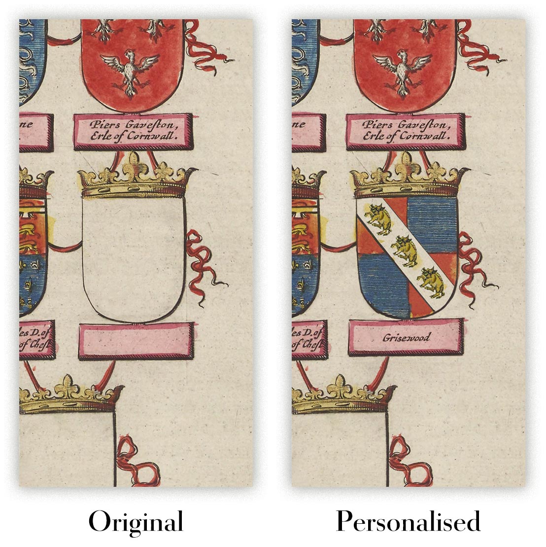
Personalising your map
You can add a short title or dedication, mark one meaningful place, or request one considered visual detail. For personalised designs, we send a proof before printing and you can request changes before approval.
For more complex bespoke commissions, contact our design team.
Original or Aged
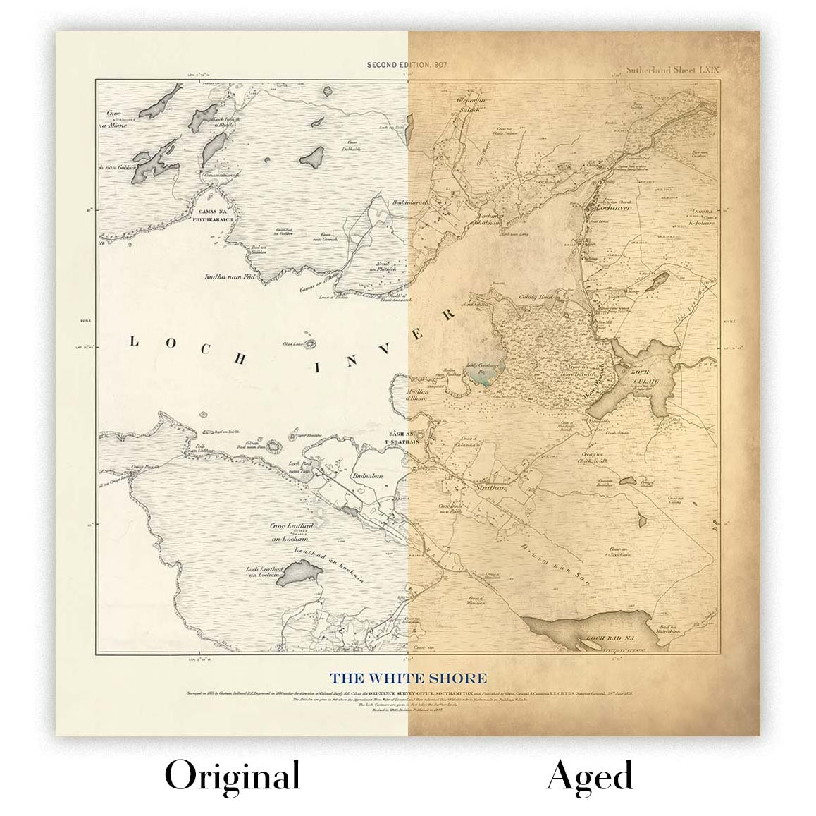
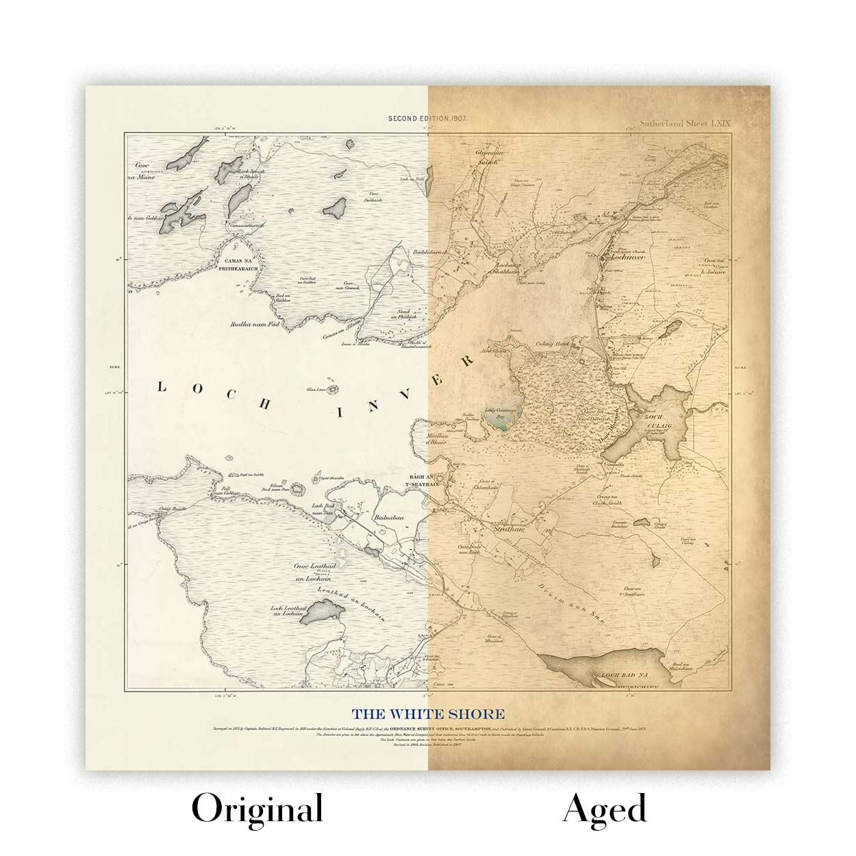
Choose Original for true-to-source colour, or Aged for a warmer, richer antique character created with our specialist ageing process. See examples of our Aged maps.
We’ve been restoring and producing maps and art prints since 1984, and we stand behind every piece.
Every order is covered by our 10-year guarantee and damage-free delivery guarantee. If your piece arrives damaged, we’ll replace or remake it free of charge. If anything else isn’t right, contact our workshop team and we’ll put it right promptly.
See our returns and refund policy for full details.
Or try searching for something!


